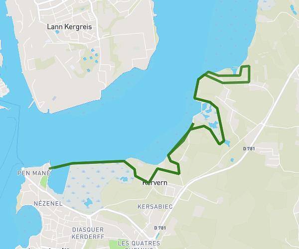
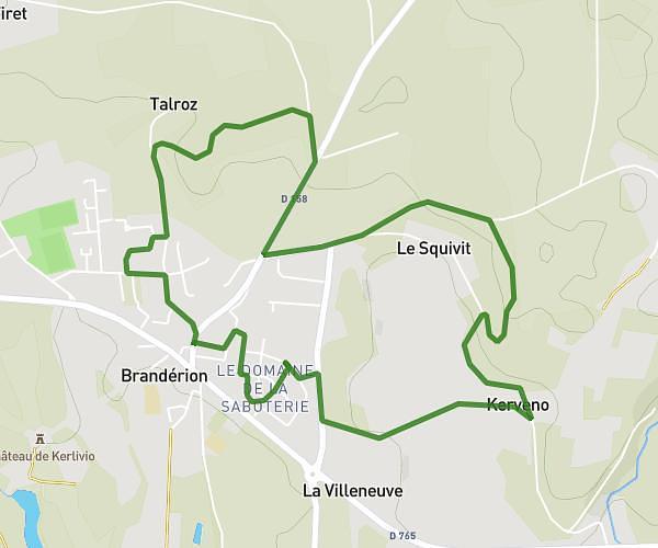
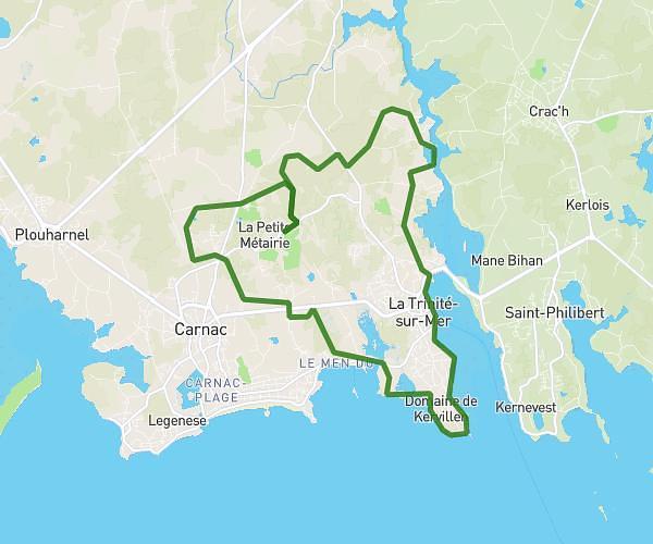
This running route covers 7.34mi starting from Locmiquélic, Morbihan. The run is a loop trail and returns to the trailhead. This run is rated as moderate, expect about 1h19m to complete it. The route has an elevation gain of 860ft and an elevation loss of 846ft.
Locmi/kervignac
Route details
5.57mph
Speed
903 kcal
Calories burned
Loop trail
Route type
0ft
Min altitude
85ft
Max altitude
Route profile
860ft
Elevation gain
846ft
Elevation loss
0ft
Min altitude
85ft
Max altitude
How to get there
Trailhead: 5504 Rue De Kervern, 56570 Locmiquélic, France
GPS coordinates of the trailhead: 47.733434, -3.326422 / 47°44'0'' N, 3°19'35'' W