MapPlanner
11.305mi
Distance
1h8m
Duration
9.97mph
Speed
+43ft
Elevation gain
-43ft
Elevation loss
Easy
Level

Encore

Route details

596 kcal
Calories burned
0.1%
Avg grade
Loop trail
Route type
3ft
Min altitude
30ft
Max altitude

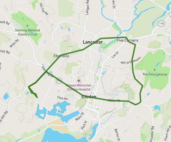
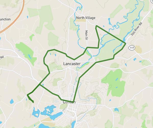
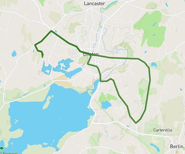
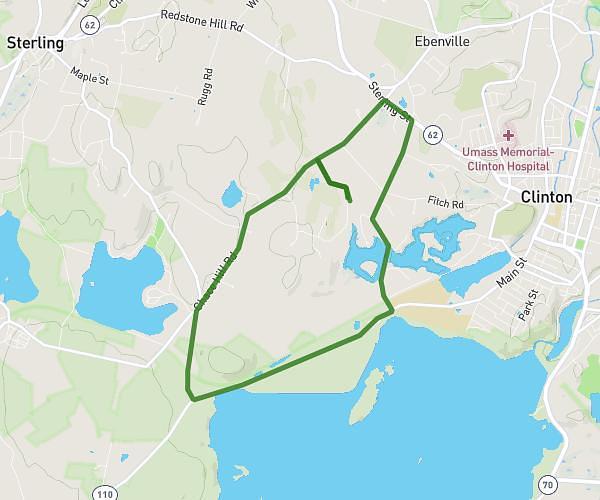
This cycling route covers 11.305mi starting from Medford, Massachusetts. The ride is a loop trail and returns to the trailhead. This route is rated as easy, plan for about 1h8m to complete it. The route has an elevation gain of 43ft and an elevation loss of 43ft.

Route profile

43ft
Elevation gain
43ft
Elevation loss
3ft
Min altitude
30ft
Max altitude

How to get there

Trailhead: 165 Grant Avenue, Medford, Massachusetts 02155, United States

GPS coordinates of the trailhead: 42.42304, -71.09274 / 42°25'22'' N, 71°5'33'' W

Caution: May Cross Private Property

This route may pass through or near private property. Always respect posted signs, obtain permission where required, and follow local trespassing laws. MapPlanner does not guarantee public access along any route.

Safety Notice

Trail and road conditions may change without notice due to weather, construction, or other factors. Always verify current conditions before heading out. You are responsible for your own safety — follow local signage, obey traffic laws, and use your best judgment on the trail.