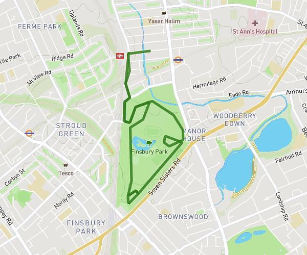
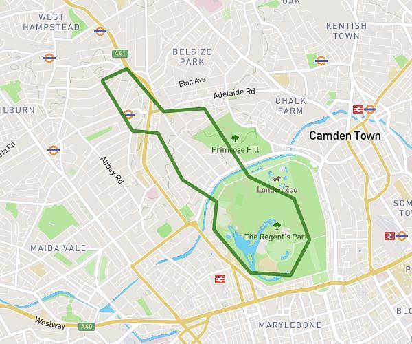
This running route covers 4.367mi starting from London, England. The run does not return to the trailhead and ends near 123 Canfield Gardens, Camden, London, NW6 3DY, United Kingdom. This run is rated as easy, expect about 47m to complete it. The route has an elevation gain of 377ft and an elevation loss of 348ft.
Work
Route details
5.57mph
Speed
537 kcal
Calories burned
Point to point
Route type
79ft
Min altitude
200ft
Max altitude
Route profile
377ft
Elevation gain
348ft
Elevation loss
79ft
Min altitude
200ft
Max altitude
How to get there
Trailhead: 5 Houghton Street, Westminster, London, WC2A 2AD, United Kingdom
GPS coordinates of the trailhead: 51.513452, -0.117033 / 51°30'48'' N, 0°7'1'' W