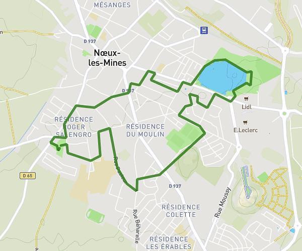
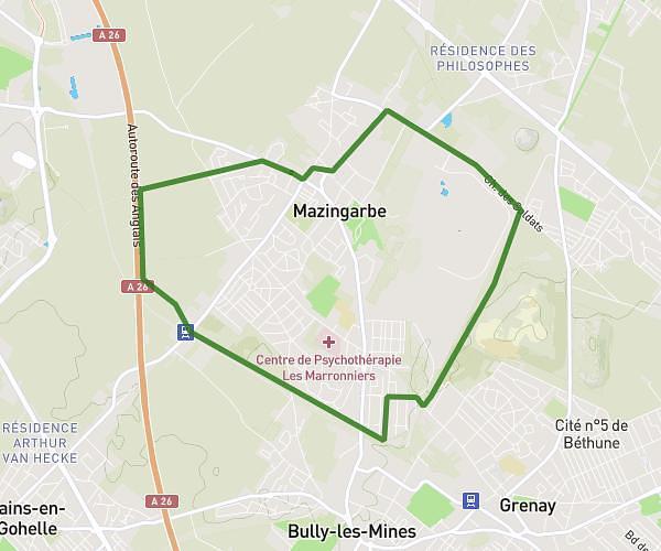
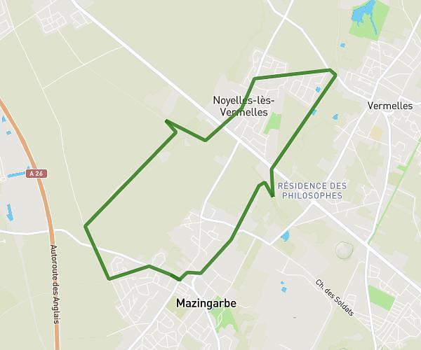
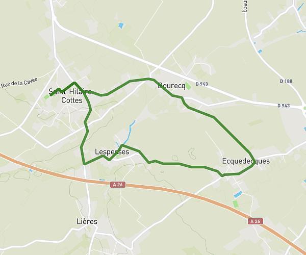
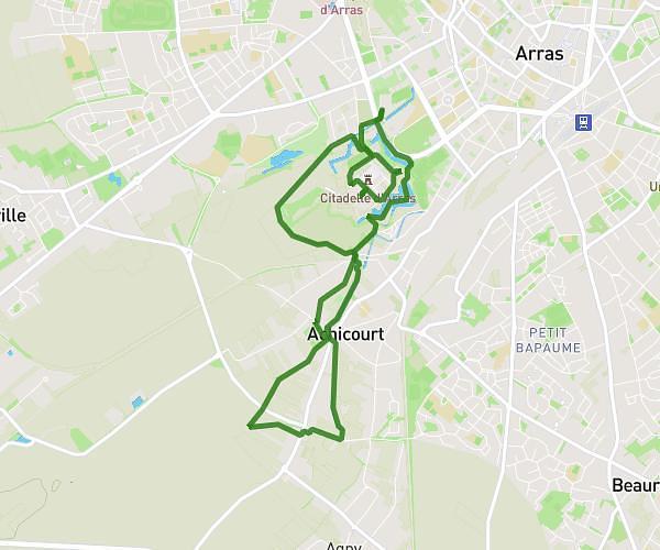
This walking route covers 7.593mi starting from Savy-Berlette, Pas-de-Calais. The walk is a loop trail and returns to the trailhead. This walk is rated as strenuous, plan for about 2h43m to complete it. The route has an elevation gain of 427ft and an elevation loss of 430ft.
Station gaz - 12,2 km
Route details
21:27/mi
Pace
666 kcal
Calories burned
Loop trail
Route type
272ft
Min altitude
367ft
Max altitude
Route profile
427ft
Elevation gain
430ft
Elevation loss
272ft
Min altitude
367ft
Max altitude
How to get there
Trailhead: Chemin De Mont-Saint-Eloi, 62690 Savy-Berlette
GPS coordinates of the trailhead: 50.35477, 2.57614 / 50°21'17'' N, 2°34'34'' E