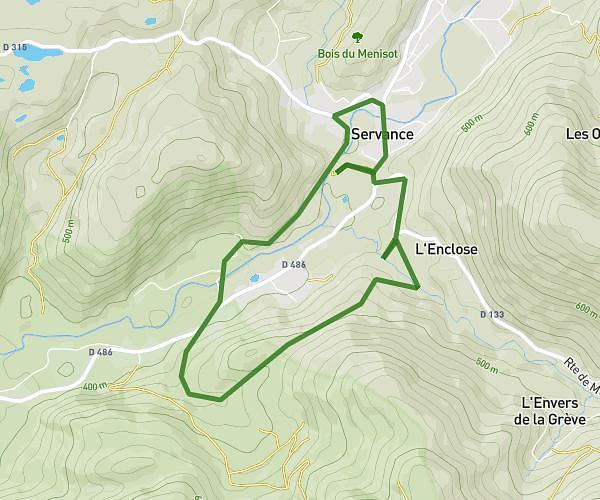
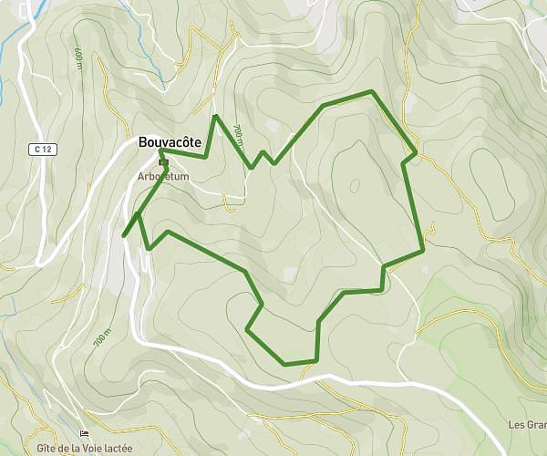
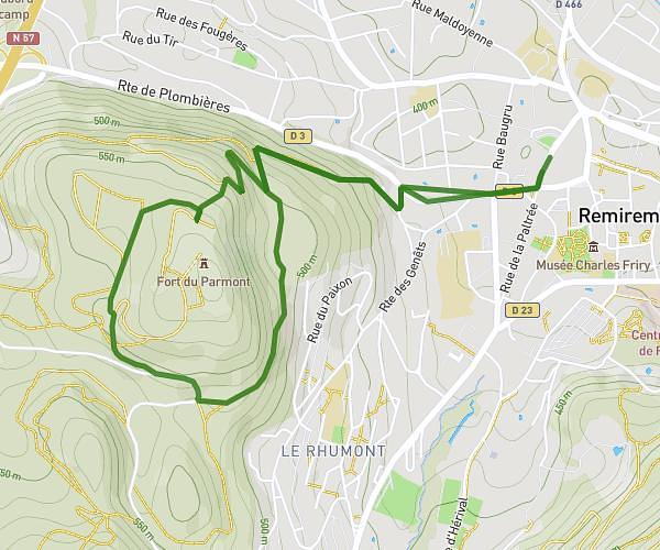
This hiking trail covers 7.163mi starting from Saint-Nabord, Vosges. The hike is a loop trail and returns to the trailhead. This hike is rated as moderate, plan for about 2h23m to complete it. The route has an elevation gain of 925ft and an elevation loss of 925ft.
depart col de raon 12 km
Route details
3.01mph
Speed
1042 kcal
Calories burned
4.9%
Avg grade
Loop trail
Route type
1634ft
Min altitude
1886ft
Max altitude
Route profile
925ft
Elevation gain
925ft
Elevation loss
1634ft
Min altitude
1886ft
Max altitude
How to get there
Trailhead: D 34, 88200 Saint-Nabord, France
GPS coordinates of the trailhead: 48.031923, 6.553622 / 48°1'54'' N, 6°33'13'' E