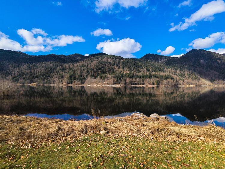
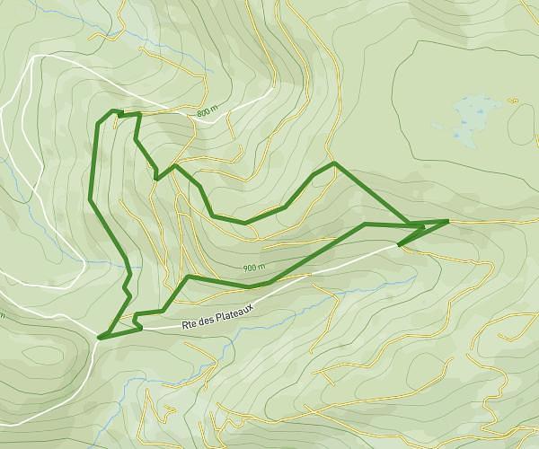
This hiking trail covers 2.743mi starting from Remiremont, Vosges. The hike is a loop trail and returns to the trailhead. This hike is rated as moderate, plan for about 1h28m to complete it. The route has an elevation gain of 679ft and an elevation loss of 673ft.
fort
Route details
1.86mph
Speed
666 kcal
Calories burned
9.3%
Avg grade
Loop trail
Route type
1319ft
Min altitude
1886ft
Max altitude
Steep climb
Route profile
679ft
Elevation gain
673ft
Elevation loss
1319ft
Min altitude
1886ft
Max altitude
How to get there
Trailhead: 22 Rue Des Brasseries, 88200 Remiremont, France
GPS coordinates of the trailhead: 48.017337, 6.588184 / 48°1'2'' N, 6°35'17'' E