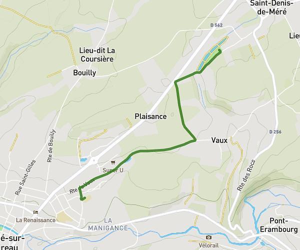
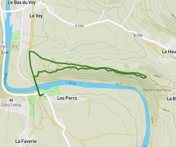
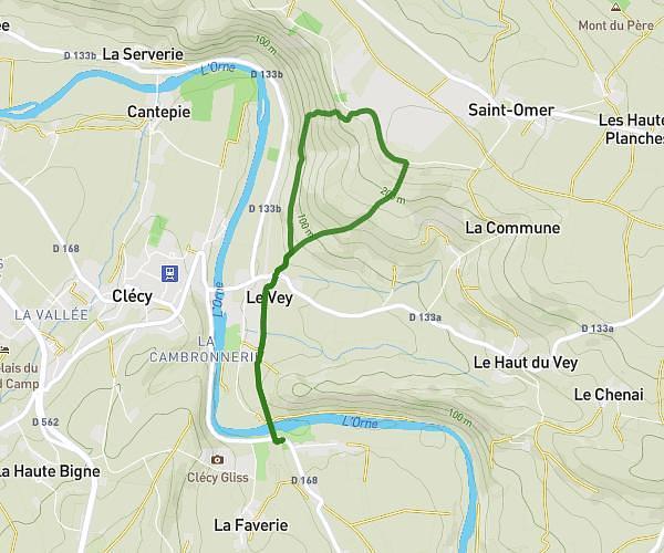
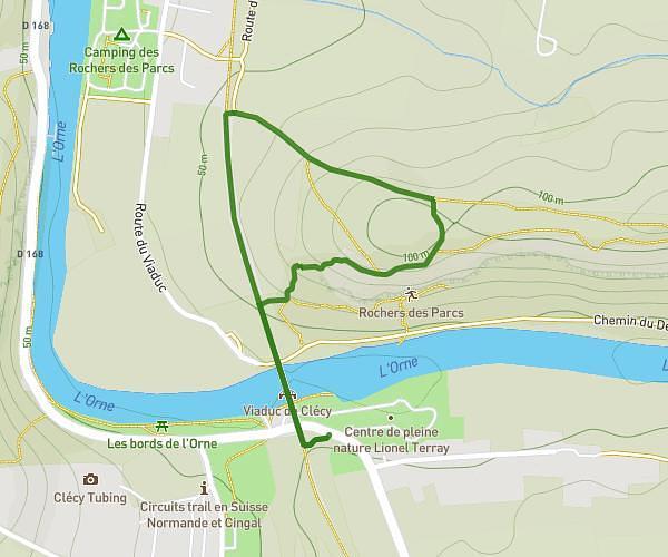
This hiking trail covers 14.873mi starting from Briouze, Orne. The hike does not return to the trailhead and ends near D 803, 61430 Berjou, France. This hike is rated as hard, plan for about 5h13m to complete it. The route has an elevation gain of 928ft and an elevation loss of 1358ft.
BRIOUZE CAMBERCOURT
Route details
2.85mph
Speed
2234 kcal
Calories burned
2.9%
Avg grade
Point to point
Route type
266ft
Min altitude
853ft
Max altitude
Route profile
928ft
Elevation gain
1358ft
Elevation loss
266ft
Min altitude
853ft
Max altitude
How to get there
Trailhead: 3 Rue Du Puits, 61220 Briouze, France
GPS coordinates of the trailhead: 48.69729, -0.36773 / 48°41'50'' N, 0°22'3'' W