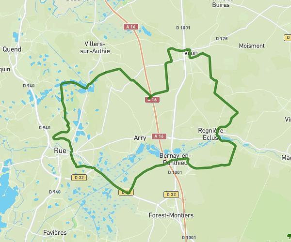
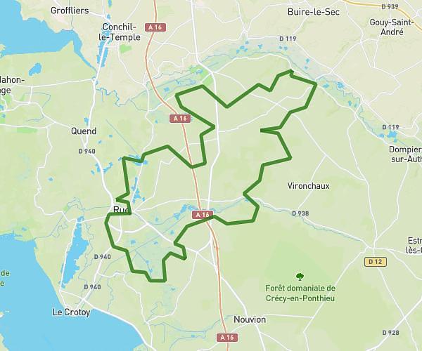
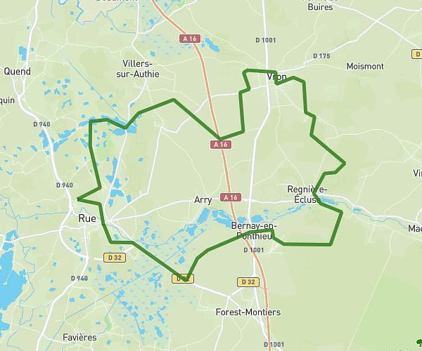
This cycling route covers 52.177mi starting from Rue, Somme. The ride does not return to the trailhead and ends near 172 Rue De La Maye, 80550 Le Crotoy, France. This route is rated as hard, plan for about 3h55m to complete it. The route has an elevation gain of 108ft and an elevation loss of 105ft.
VTT 62
Route details
2057 kcal
Calories burned
0.1%
Avg grade
Point to point
Route type
10ft
Min altitude
112ft
Max altitude
Route profile
108ft
Elevation gain
105ft
Elevation loss
10ft
Min altitude
112ft
Max altitude
How to get there
Trailhead: 6 Place Du Général De Gaulle, 80120 Rue, France
GPS coordinates of the trailhead: 50.27104, 1.67473 / 50°16'15'' N, 1°40'29'' E