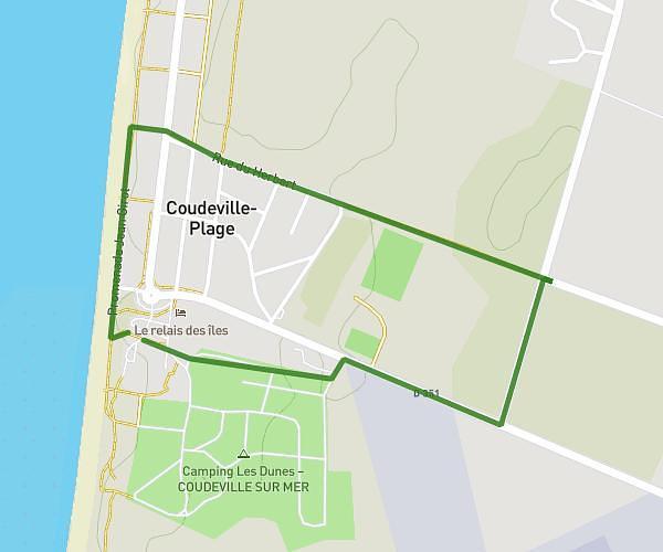
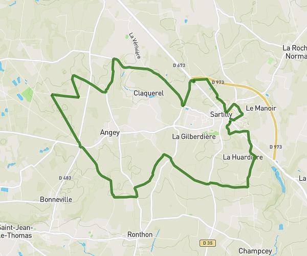
This running route covers 2.779mi starting from Montmartin-sur-Mer, Manche. The run is a loop trail and returns to the trailhead. This run is rated as easy, expect about 33m to complete it. The route has an elevation gain of 148ft and an elevation loss of 144ft.
Reprise
Route details
5.05mph
Speed
377 kcal
Calories burned
Loop trail
Route type
121ft
Min altitude
174ft
Max altitude
Route profile
148ft
Elevation gain
144ft
Elevation loss
121ft
Min altitude
174ft
Max altitude
How to get there
Trailhead: Impasse De La Suretière, 50590 Montmartin-sur-Mer
GPS coordinates of the trailhead: 48.98699, -1.52235 / 48°59'13'' N, 1°31'20'' W