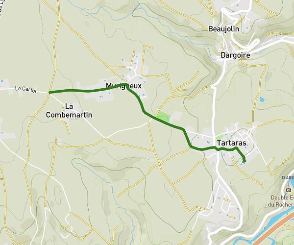
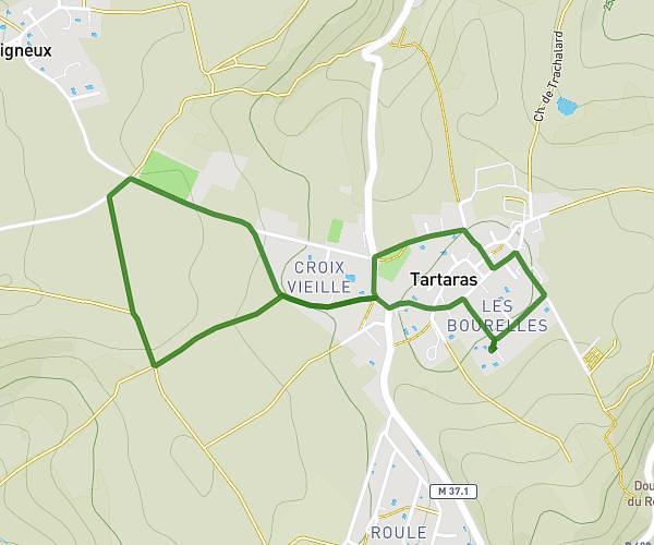
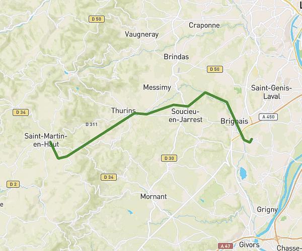
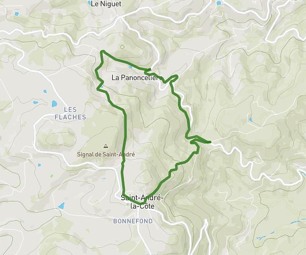
This hiking trail covers 7.428mi starting from Saint-Galmier, Loire. The hike is a loop trail and returns to the trailhead. This hike is rated as easy, plan for about 2h30m to complete it. The route has an elevation gain of 315ft and an elevation loss of 308ft.
Bois Barou
Route details
2.97mph
Speed
1064 kcal
Calories burned
1.6%
Avg grade
Loop trail
Route type
1158ft
Min altitude
1266ft
Max altitude
Route profile
315ft
Elevation gain
308ft
Elevation loss
1158ft
Min altitude
1266ft
Max altitude
How to get there
Trailhead: 5 Avenue De La Coise, 42330 Saint-Galmier, France
GPS coordinates of the trailhead: 45.59143, 4.30057 / 45°35'29'' N, 4°18'2'' E