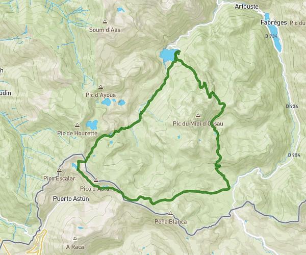
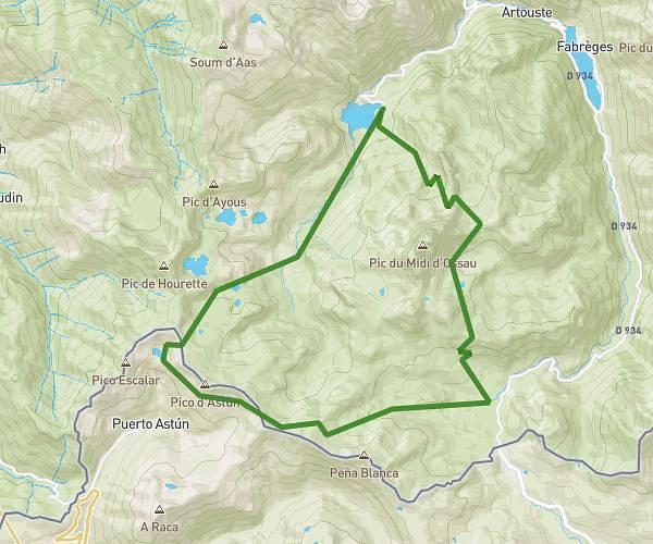
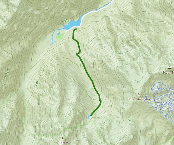
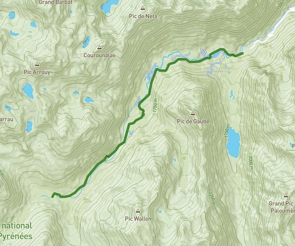
This hiking trail covers 6.728mi starting from Laruns, Pyrénées-Atlantiques. The hike does not return to the trailhead and ends near 5035 Rue Des Bergers, 64440 Laruns, France. This hike is rated as strenuous, plan for about 4h16m to complete it. The route has an elevation gain of 3694ft and an elevation loss of 2825ft.
Plombie-Arremoulit
Route details
1.58mph
Speed
2103 kcal
Calories burned
18.4%
Avg grade
Point to point
Route type
4419ft
Min altitude
7831ft
Max altitude
Steep climb
Route profile
3694ft
Elevation gain
2825ft
Elevation loss
4419ft
Min altitude
7831ft
Max altitude
How to get there
Trailhead: 5151 Rue Des Bergers, 64440 Laruns, France
GPS coordinates of the trailhead: 42.835119, -0.426257 / 42°50'6'' N, 0°25'34'' W