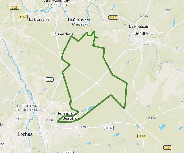
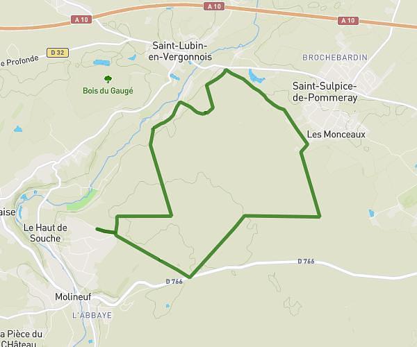
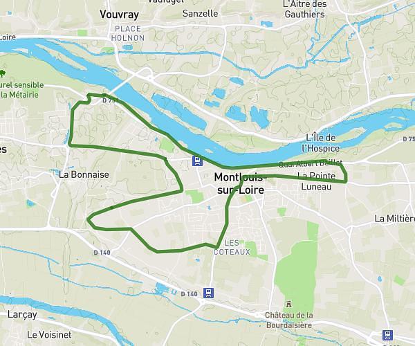
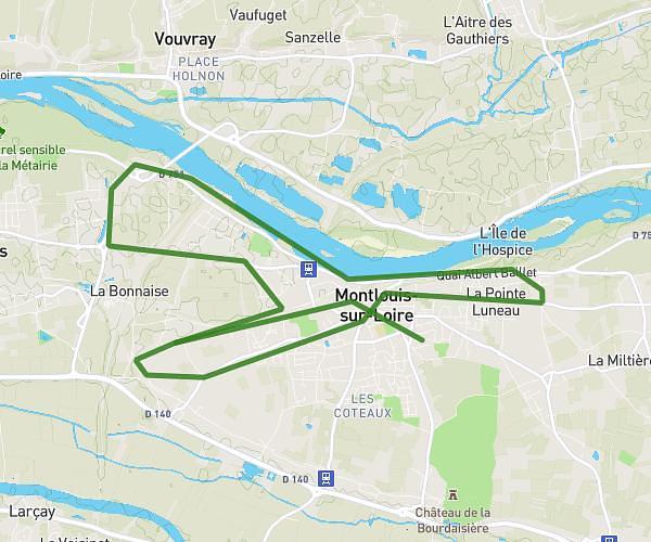
This running route covers 6.956mi starting from Saint-Georges-sur-Cher, Loir-et-Cher. The run does not return to the trailhead and ends near Rue Du Carroir, 41400 Saint-Georges-sur-Cher. This run is rated as moderate, expect about 1h36m to complete it. The route has an elevation gain of 430ft and an elevation loss of 404ft.
Roc
Route details
4.35mph
Speed
1098 kcal
Calories burned
Point to point
Route type
256ft
Min altitude
423ft
Max altitude
Route profile
430ft
Elevation gain
404ft
Elevation loss
256ft
Min altitude
423ft
Max altitude
How to get there
Trailhead: Route De L'audronnière, 41400 Saint-Georges-sur-Cher
GPS coordinates of the trailhead: 47.32436, 1.15376 / 47°19'27'' N, 1°9'13'' E