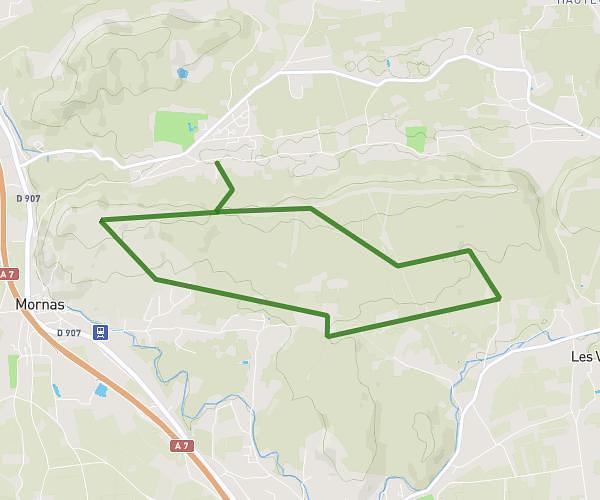
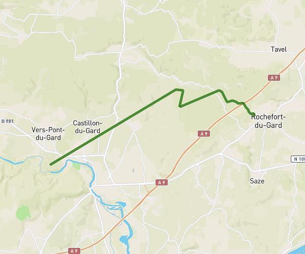
This hiking trail covers 7.956mi starting from Saint-Laurent-des-Arbres, Gard. The hike does not return to the trailhead and ends near Chemin Des Balouvières, 30126 Saint-Laurent-des-Arbres. This hike is rated as moderate, plan for about 2h51m to complete it. The route has an elevation gain of 778ft and an elevation loss of 774ft.
sortie du 2 mai Classe Mme Olive
Route details
2.79mph
Speed
1234 kcal
Calories burned
3.7%
Avg grade
Point to point
Route type
272ft
Min altitude
768ft
Max altitude
Route profile
778ft
Elevation gain
774ft
Elevation loss
272ft
Min altitude
768ft
Max altitude
How to get there
Trailhead: Rue Marcel Pagnol, 30126 Saint-Laurent-des-Arbres
GPS coordinates of the trailhead: 44.05344, 4.69782 / 44°3'12'' N, 4°41'52'' E