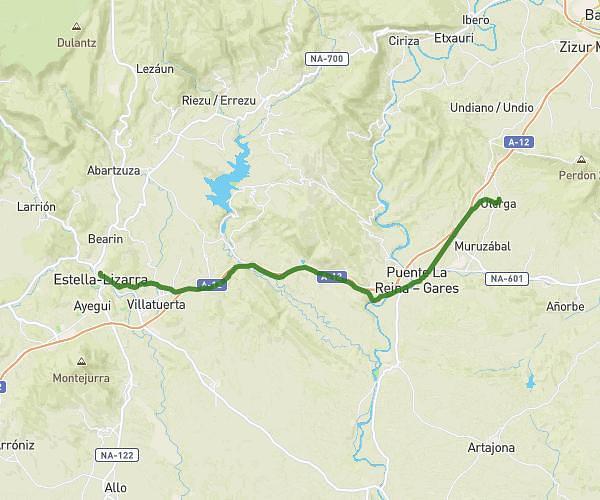
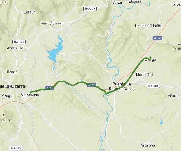
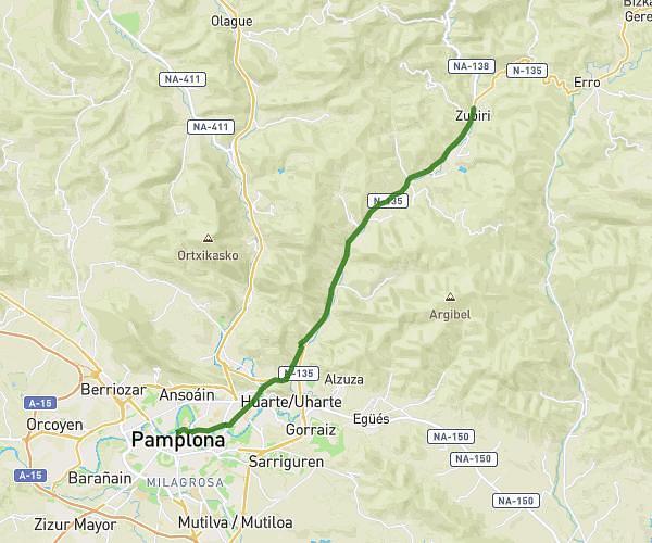
This hiking trail covers 10.63mi starting from Pamplona, Navarre. The hike does not return to the trailhead and ends near Carretera Uterga - Muruzábal, 31133 Uterga, Navarre, Spain. This hike is rated as hard, plan for about 3h to complete it. The route has an elevation gain of 1647ft and an elevation loss of 1473ft.
Description of the route by the creator
Today, Wednesday, Henri proved to be the equal of the man we all know... As Iñaki wasn't with him to moderate him, he did Zubiri-Pamplona. But as he felt that it was the big city and that he still had plenty of time, he continued on his way. He didn't even take the time to go to the office to get his credencial stamped. Tonight he's in Uterga just before Puente la Reina. He was pretty tired though because I think he'd been walking since 6am this morning and must have arrived around 5pm. 🥹 Still, he's ready to go again tomorrow morning at 6am and very fit. So far he hasn't gotten wet, but he had the storm at the lodge last night and tonight too. If he keeps up this pace in 15 days he'll be in Santiago🤣😂. He'll show us the photos when he gets back because apparently the photos don't go through WhatsApp he can't manage to send them. But all's well for now... I'll conclude by saying "Usain Bolt get out of this body!!!"😤 He sends kisses to everyone😘 See you tomorrow for new adventures😍😁 I'm posting a link to an IGN map of the French Camino de Santiago. When you zoom in it's very precise and you can see the very small villages. It even goes down to the details of the houses. So you can follow his journey. <a rel="noopener noreferrer" target="_blank" href="https://nco.ign.es/CaminoSantiago/">https://nco.ign.es/CaminoSantiago/</a> Grosses to all 😉