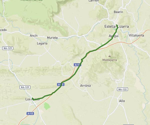
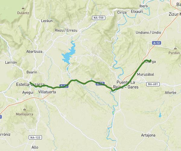
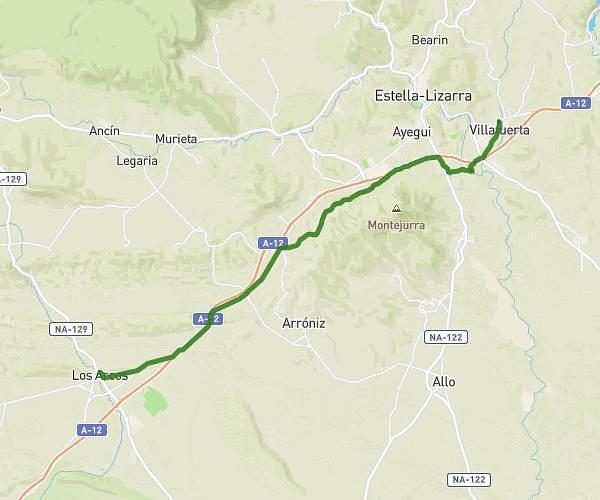
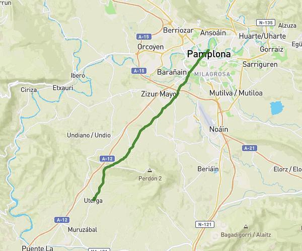
This hiking trail covers 14.96mi starting from Uterga, Navarre. The hike does not return to the trailhead and ends near Carretera Galar - Viana Errepidea, 31132 Villatuerta. This hike is rated as hard, plan for about 4h to complete it. The route has an elevation gain of 1342ft and an elevation loss of 1486ft.
2023 06 01 1ere partie
Route details
3.74mph
Speed
1728 kcal
Calories burned
3.6%
Avg grade
Point to point
Route type
1093ft
Min altitude
1624ft
Max altitude
Route profile
1342ft
Elevation gain
1486ft
Elevation loss
1093ft
Min altitude
1624ft
Max altitude
How to get there
Trailhead: Carretera Uterga - Muruzábal, 31133 Uterga
GPS coordinates of the trailhead: 42.7133, -1.75977 / 42°42'47'' N, 1°45'35'' W