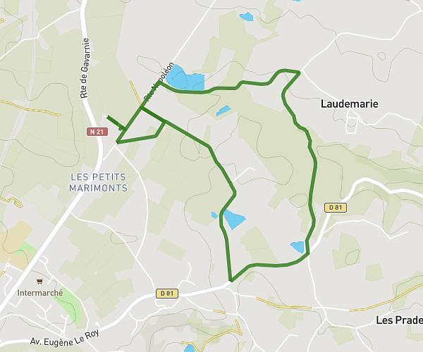
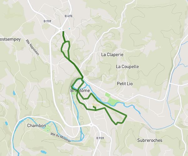
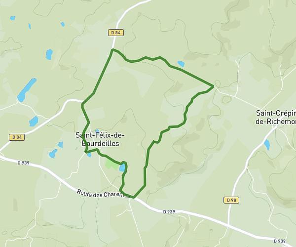
This running route covers 4.394mi starting from Lussas-et-Nontronneau, Dordogne. The run does not return to the trailhead and ends near 1423 Route De La Croix De La Victoire, 24300 Lussas-et-Nontronneau, France. This run is rated as easy, expect about 41m to complete it. The route has an elevation gain of 92ft and an elevation loss of 171ft.
Coders
Route details
6.43mph
Speed
469 kcal
Calories burned
Point to point
Route type
577ft
Min altitude
676ft
Max altitude
Route profile
92ft
Elevation gain
171ft
Elevation loss
577ft
Min altitude
676ft
Max altitude
How to get there
Trailhead: 29 Impasse De La Saudie, 24300 Lussas-et-Nontronneau, France
GPS coordinates of the trailhead: 45.5009, 0.5912 / 45°30'3'' N, 0°35'28'' E