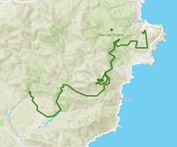
This cycling route covers 18.612mi starting from Théoule-sur-Mer, Alpes-Maritimes. The ride does not return to the trailhead and ends near Valescure Nord-Agay-Le Trayas, Saint-Raphaël, Var, France. This route is rated as strenuous, plan for about 1h52m to complete it. The route has an elevation gain of 2352ft and an elevation loss of 2411ft.
Tour des cols de l'Estérel Part.1
Route details
1011 kcal
Calories burned
4.8%
Avg grade
Point to point
Route type
213ft
Min altitude
1503ft
Max altitude
Route profile
2352ft
Elevation gain
2411ft
Elevation loss
213ft
Min altitude
1503ft
Max altitude
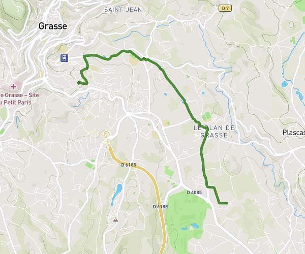
How to get there
Trailhead: 16 Rue Du Sanglier, 06590 Théoule-sur-Mer, France
GPS coordinates of the trailhead: 43.501399, 6.938478 / 43°30'5'' N, 6°56'18'' E