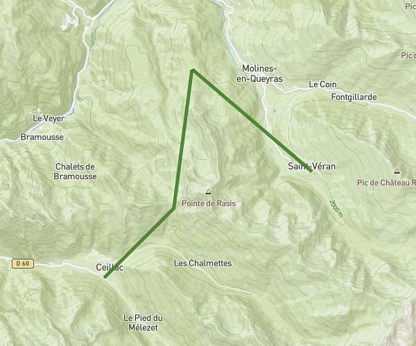
This hiking trail covers 4.464mi starting from Cervières, Hautes-Alpes. The hike is a loop trail and returns to the trailhead. This hike is rated as hard, plan for about 2h22m to complete it. The route has an elevation gain of 1421ft and an elevation loss of 1421ft.
Tour du lac
Route details
1.89mph
Speed
1094 kcal
Calories burned
12.1%
Avg grade
Loop trail
Route type
6194ft
Min altitude
7369ft
Max altitude
Steep climb
Route profile
1421ft
Elevation gain
1421ft
Elevation loss
6194ft
Min altitude
7369ft
Max altitude
How to get there
Trailhead: Route De La Haute Vallée, 05100 Cervières, France
GPS coordinates of the trailhead: 44.87828, 6.74562 / 44°52'41'' N, 6°44'44'' E