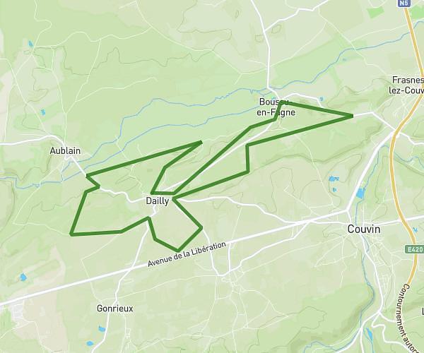
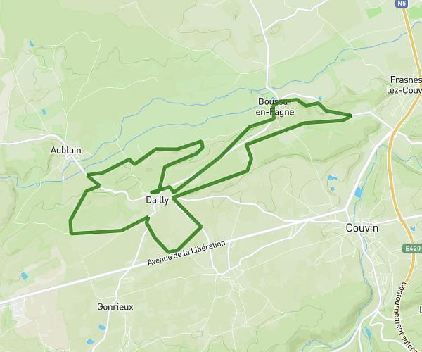
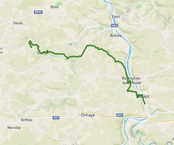
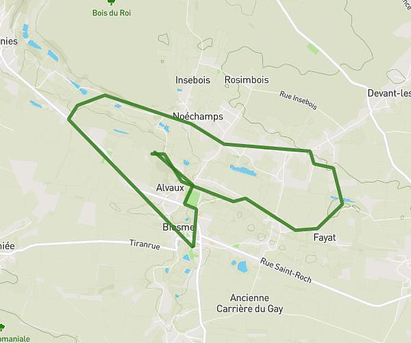
This running route covers 21.466mi starting from Doische, Namur. The run is a loop trail and returns to the trailhead. This run is rated as strenuous, expect about 3h19m to complete it. The route has an elevation gain of 79ft and an elevation loss of 128ft.
35 axel
Route details
6.47mph
Speed
2275 kcal
Calories burned
Loop trail
Route type
577ft
Min altitude
669ft
Max altitude
Route profile
79ft
Elevation gain
128ft
Elevation loss
577ft
Min altitude
669ft
Max altitude
How to get there
Trailhead: Voye D'en Haut, 5680 Doische
GPS coordinates of the trailhead: 50.1704, 4.73214 / 50°10'13'' N, 4°43'55'' E