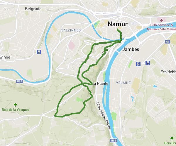
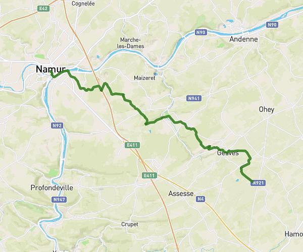
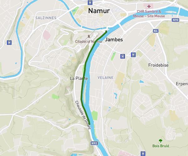
This running route covers 12.753mi starting from Dinant, Namur. The run does not return to the trailhead and ends near Rue De Maredsous 11, 5537 Anhée, Namur, Belgium. This run is rated as strenuous, expect about 2h17m to complete it. The route has an elevation gain of 1568ft and an elevation loss of 1148ft.
20Km Maredsous Dinant Trail-22385056 (2)
Route details
5.59mph
Speed
1566 kcal
Calories burned
Point to point
Route type
295ft
Min altitude
761ft
Max altitude
Route profile
1568ft
Elevation gain
1148ft
Elevation loss
295ft
Min altitude
761ft
Max altitude
How to get there
Trailhead: Boulevard Des Souverains 8, 5500 Dinant, Namur, Belgium
GPS coordinates of the trailhead: 50.25303, 4.91581 / 50°15'10'' N, 4°54'56'' E