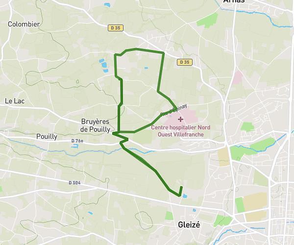
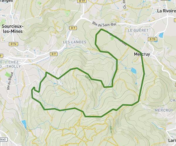
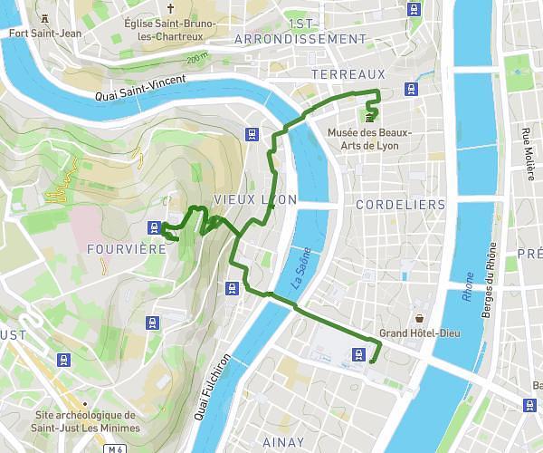
This hiking trail covers 15.846mi starting from Poleymieux-au-Mont-d'Or, Rhône. The hike does not return to the trailhead and ends near 1 Impasse Des Sapins, 01120 La Boisse, France. This hike is rated as strenuous, plan for about 6h22m to complete it. The route has an elevation gain of 843ft and an elevation loss of 2169ft.
Marche retour
Route details
2.49mph
Speed
2722 kcal
Calories burned
3.6%
Avg grade
Point to point
Route type
568ft
Min altitude
1949ft
Max altitude
Route profile
843ft
Elevation gain
2169ft
Elevation loss
568ft
Min altitude
1949ft
Max altitude
How to get there
Trailhead: Route De Limonest, 69250 Poleymieux-au-Mont-d'Or, France
GPS coordinates of the trailhead: 45.84921, 4.78101 / 45°50'57'' N, 4°46'51'' E