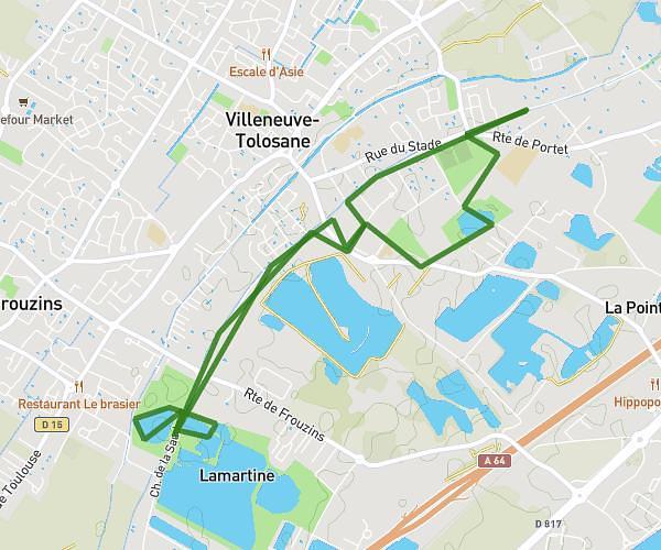
This running route covers 10.48mi starting from Lacroix-Falgarde, Haute-Garonne. The run is a loop trail and returns to the trailhead. This run is rated as hard, expect about 1h30m to complete it. The route has an elevation gain of 1427ft and an elevation loss of 1411ft.
Croix Falgarde
Route details
6.98mph
Speed
1029 kcal
Calories burned
Loop trail
Route type
509ft
Min altitude
896ft
Max altitude
Route profile
1427ft
Elevation gain
1411ft
Elevation loss
509ft
Min altitude
896ft
Max altitude
How to get there
Trailhead: D 4, 31120 Lacroix-Falgarde, France
GPS coordinates of the trailhead: 43.49703, 1.40993 / 43°29'49'' N, 1°24'35'' E