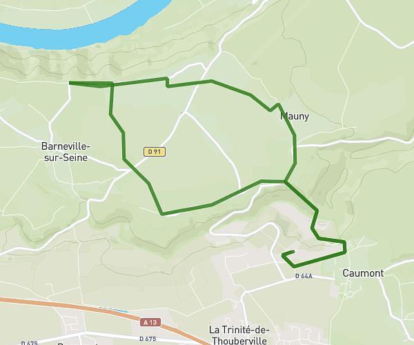
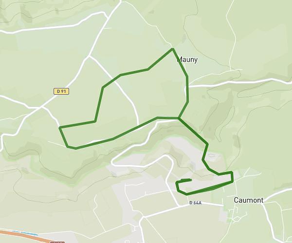
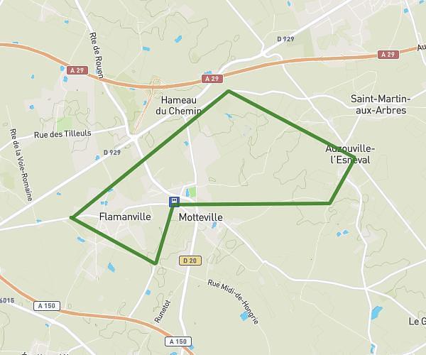
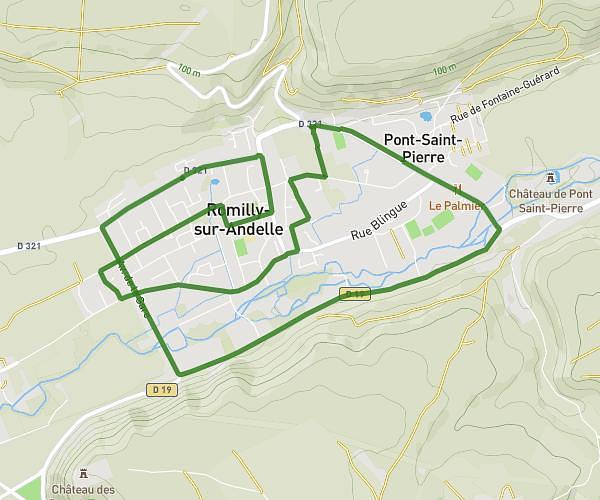
This running route covers 9.831mi starting from Rouen, Seine-Maritime. The run is a loop trail and returns to the trailhead. This run is rated as hard, expect about 1h34m to complete it. The route has an elevation gain of 781ft and an elevation loss of 778ft.
107 - Sainte Catherine par la route
Route details
6.21mph
Speed
1085 kcal
Calories burned
Loop trail
Route type
3ft
Min altitude
446ft
Max altitude
Route profile
781ft
Elevation gain
778ft
Elevation loss
3ft
Min altitude
446ft
Max altitude
How to get there
Trailhead: 107 Allée François Mitterrand, 76100 Rouen, France
GPS coordinates of the trailhead: 49.44092, 1.0728 / 49°26'27'' N, 1°4'22'' E