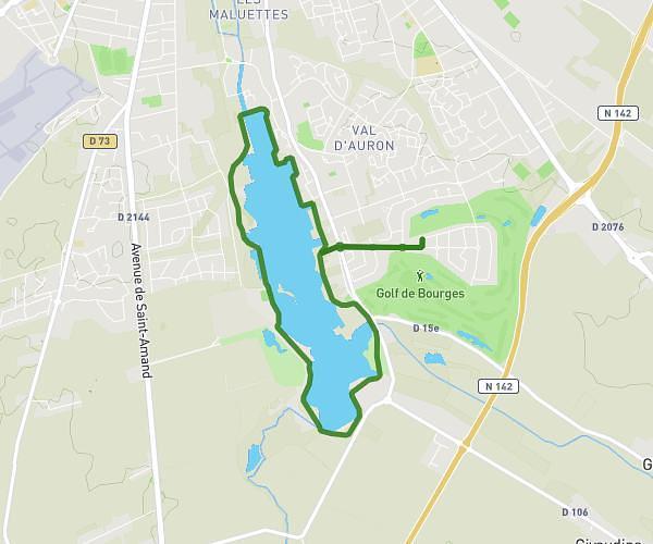
This hiking trail covers 1.681mi starting from Bourges, Cher. The hike is a loop trail and returns to the trailhead. This hike is rated as easy, plan for about 30m to complete it. The route has an elevation gain of 85ft and an elevation loss of 85ft.
Sentes Asnières les Bourges
Route details
3.36mph
Speed
213 kcal
Calories burned
1.9%
Avg grade
Loop trail
Route type
472ft
Min altitude
509ft
Max altitude
Route profile
85ft
Elevation gain
85ft
Elevation loss
472ft
Min altitude
509ft
Max altitude
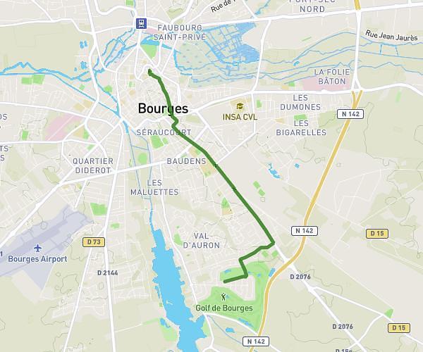
How to get there
Trailhead: 1 Rue Pierre Et Jane Boiteau, 18000 Bourges, France
GPS coordinates of the trailhead: 47.12246, 2.40719 / 47°7'20'' N, 2°24'25'' E