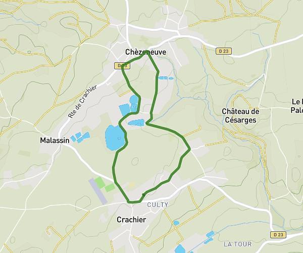
This walking route covers 2.001mi starting from Loyettes, Ain. The walk is a loop trail and returns to the trailhead. This walk is rated as easy, plan for about 38m39s to complete it. The route has an elevation gain of 16ft and an elevation loss of 16ft.
3200m
Route details
19:19/mi
Pace
158 kcal
Calories burned
Loop trail
Route type
630ft
Min altitude
640ft
Max altitude
Route profile
16ft
Elevation gain
16ft
Elevation loss
630ft
Min altitude
640ft
Max altitude
How to get there
Trailhead: 79 Impasse Ronsard, 01360 Loyettes, France
GPS coordinates of the trailhead: 45.7751, 5.21064 / 45°46'30'' N, 5°12'38'' E