MapPlanner
5.328mi
Distance
2h8m
Duration
+1066ft
Elevation gain
-584ft
Elevation loss
Moderate
Level

sortie

Route details

2.49mph
Speed
957 kcal
Calories burned
5.9%
Avg grade
Point to point
Route type
896ft
Min altitude
1611ft
Max altitude

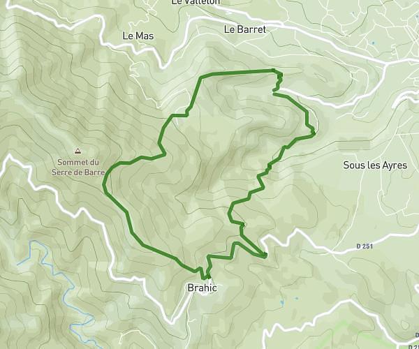
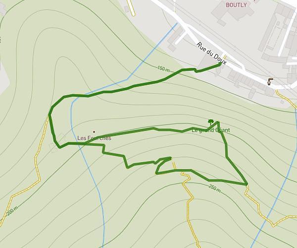
This hiking trail covers 5.328mi starting from Les Vans, Ardèche. The hike does not return to the trailhead and ends near Route De Brahic, 07140 Les Vans. This hike is rated as moderate, plan for about 2h8m to complete it. The route has an elevation gain of 1066ft and an elevation loss of 584ft.

Description of the route by the creator

medium

(Description automatically translated)

Route profile

1066ft
Elevation gain
584ft
Elevation loss
896ft
Min altitude
1611ft
Max altitude

How to get there

Trailhead: Chemin Du Hameau De Martrimas, 07140 Les Vans

GPS coordinates of the trailhead: 44.37261, 4.1023 / 44°22'21'' N, 4°6'8'' E

Caution: May Cross Private Property

This route may pass through or near private property. Always respect posted signs, obtain permission where required, and follow local trespassing laws. MapPlanner does not guarantee public access along any route.

Safety Notice

Trail and road conditions may change without notice due to weather, construction, or other factors. Always verify current conditions before heading out. You are responsible for your own safety — follow local signage, obey traffic laws, and use your best judgment on the trail.