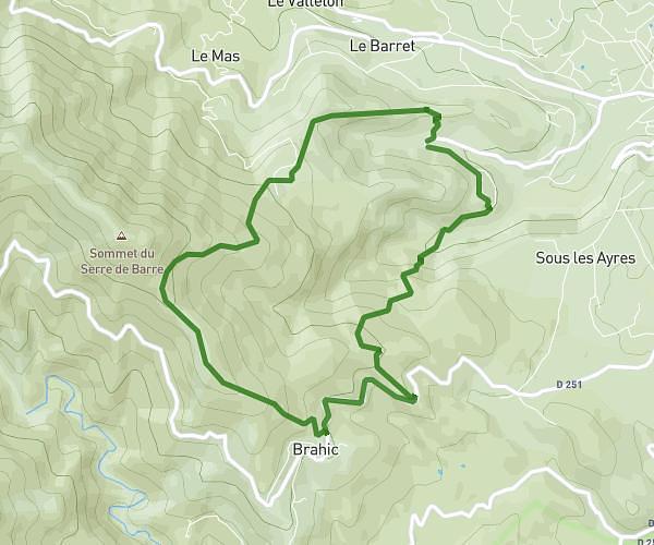
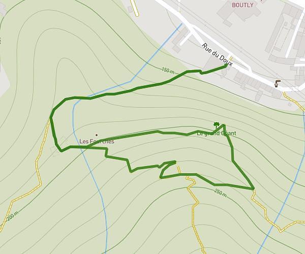
This hiking trail covers 6.376mi starting from Malbosc, Ardèche. The hike does not return to the trailhead and ends near 3218 Route De Malbosc, 07140 Les Vans, France. This hike is rated as moderate, plan for about 2h33m to complete it. The route has an elevation gain of 561ft and an elevation loss of 1263ft.
sortie
Route details
2.49mph
Speed
1107 kcal
Calories burned
5.4%
Avg grade
Point to point
Route type
883ft
Min altitude
1588ft
Max altitude
Route profile
561ft
Elevation gain
1263ft
Elevation loss
883ft
Min altitude
1588ft
Max altitude
How to get there
Trailhead: 873 Route De Besseges, 07140 Malbosc, France
GPS coordinates of the trailhead: 44.33919, 4.07061 / 44°20'21'' N, 4°4'14'' E