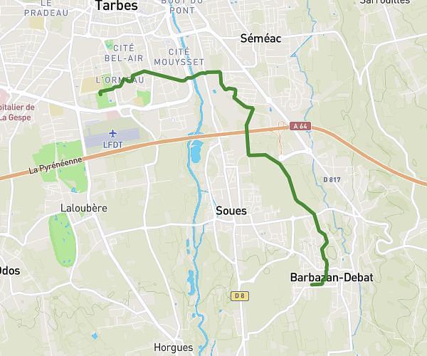
This running route covers 4.268mi starting from Ibos, Hautes-Pyrénées. The run is a loop trail and returns to the trailhead. This run is rated as easy, expect about 46m to complete it. The route has an elevation gain of 23ft and an elevation loss of 20ft.
Ibos plaine
Route details
5.57mph
Speed
526 kcal
Calories burned
Loop trail
Route type
1037ft
Min altitude
1056ft
Max altitude
Route profile
23ft
Elevation gain
20ft
Elevation loss
1037ft
Min altitude
1056ft
Max altitude
How to get there
Trailhead: 4 Rue De Mardaing, 65420 Ibos, France
GPS coordinates of the trailhead: 43.235484, -0.00091 / 43°14'7'' N, 0°0'3'' W