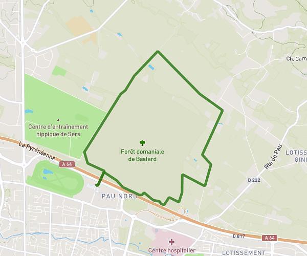
This running route covers 3.995mi starting from Escoubès, Pyrénées-Atlantiques. The run is a loop trail and returns to the trailhead. This run is rated as easy, expect about 35m to complete it. The route has an elevation gain of 20ft and an elevation loss of 20ft.
course 3
Route details
6.85mph
Speed
400 kcal
Calories burned
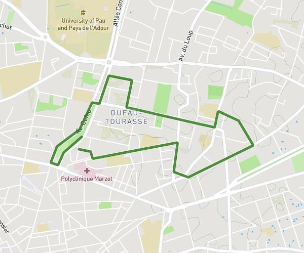
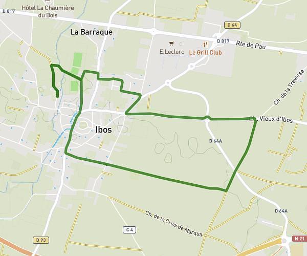
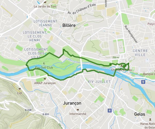
Loop trail
Route type
886ft
Min altitude
906ft
Max altitude
Route profile
20ft
Elevation gain
20ft
Elevation loss
886ft
Min altitude
906ft
Max altitude
How to get there
Trailhead: 16 Chemin Les Argelès, 64160 Escoubès, France
GPS coordinates of the trailhead: 43.414709, -0.243312 / 43°24'52'' N, 0°14'35'' W