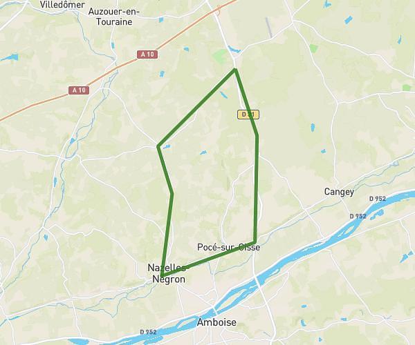
This cycling route covers 10.914mi starting from Gombergean, Loir-et-Cher. The ride does not return to the trailhead and ends near 5 Rue Cassandre Salviati, 41190 Pray, France. This route is rated as easy, plan for about 1h6m to complete it. The route has an elevation gain of 72ft and an elevation loss of 52ft.
PRAY-GOMBERGEAN-LANCE-PRAY
Route details
578 kcal
Calories burned
0.2%
Avg grade
Point to point
Route type
387ft
Min altitude
420ft
Max altitude
Route profile
72ft
Elevation gain
52ft
Elevation loss
387ft
Min altitude
420ft
Max altitude
How to get there
Trailhead: 2 Rue De Beauce, 41310 Gombergean, France
GPS coordinates of the trailhead: 47.651113, 1.084543 / 47°39'4'' N, 1°5'4'' E