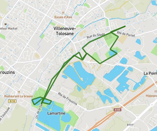
This running route covers 18.264mi starting from Lagardelle-sur-Lèze, Haute-Garonne. The run does not return to the trailhead and ends near 81 Chemin De Dussède, 31810 Vernet, France. This run is rated as strenuous, expect about 3h15m to complete it. The route has an elevation gain of 338ft and an elevation loss of 328ft.
30 KM : LAGARDELLE _ LE VERNET _ LABARTHE_SUR_LEZE
Route details
5.59mph
Speed
2240 kcal
Calories burned
Point to point
Route type
515ft
Min altitude
702ft
Max altitude
Route profile
338ft
Elevation gain
328ft
Elevation loss
515ft
Min altitude
702ft
Max altitude
How to get there
Trailhead: 9 Lotissement Lou Francou, 31870 Lagardelle-sur-Lèze, France
GPS coordinates of the trailhead: 43.42075, 1.40899 / 43°25'14'' N, 1°24'32'' E