MapPlanner
2.536mi
Distance
30m36s
Duration
12:04/mi
Pace
Easy
Level

Saint-Maur - Le parc 2

Route details

4.97mph
Speed
350 kcal
Calories burned
Loop trail
Route type
131ft
Min altitude
174ft
Max altitude

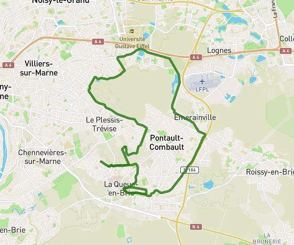
This running route covers 2.536mi starting from Saint-Maur-des-Fossés, Val-de-Marne. The run is a loop trail and returns to the trailhead. This run is rated as easy, expect about 30m36s to complete it. The route has an elevation gain of 52ft and an elevation loss of 52ft.

Description of the route by the creator

Urban routes. Best done in the evening when traffic is lighter.

(Description automatically translated)

Route profile

52ft
Elevation gain
52ft
Elevation loss
131ft
Min altitude
174ft
Max altitude

How to get there

Trailhead: 76 Avenue Des Fusillés De Châteaubriant, 94100 Saint-Maur-des-Fossés, France

GPS coordinates of the trailhead: 48.80492, 2.50366 / 48°48'17'' N, 2°30'13'' E

Caution: May Cross Private Property

This route may pass through or near private property. Always respect posted signs, obtain permission where required, and follow local trespassing laws. MapPlanner does not guarantee public access along any route.

Safety Notice

Trail and road conditions may change without notice due to weather, construction, or other factors. Always verify current conditions before heading out. You are responsible for your own safety — follow local signage, obey traffic laws, and use your best judgment on the trail.