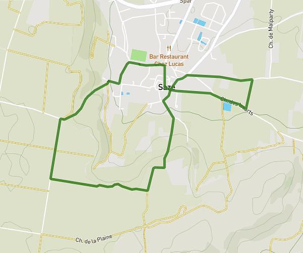
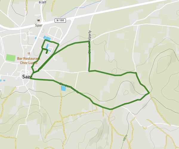
This running route covers 6.233mi starting from Sarrians, Vaucluse. The run does not return to the trailhead and ends near Avenue Paul Cézanne, 84260 Sarrians. This run is rated as moderate, expect about 1h to complete it. The route has an elevation gain of 10ft and an elevation loss of 13ft.
Test
Route details
6.23mph
Speed
686 kcal
Calories burned
Point to point
Route type
108ft
Min altitude
118ft
Max altitude
Route profile
10ft
Elevation gain
13ft
Elevation loss
108ft
Min altitude
118ft
Max altitude
How to get there
Trailhead: Boulevard Marius Bastidon, 84260 Sarrians
GPS coordinates of the trailhead: 44.08193, 4.971 / 44°4'54'' N, 4°58'15'' E