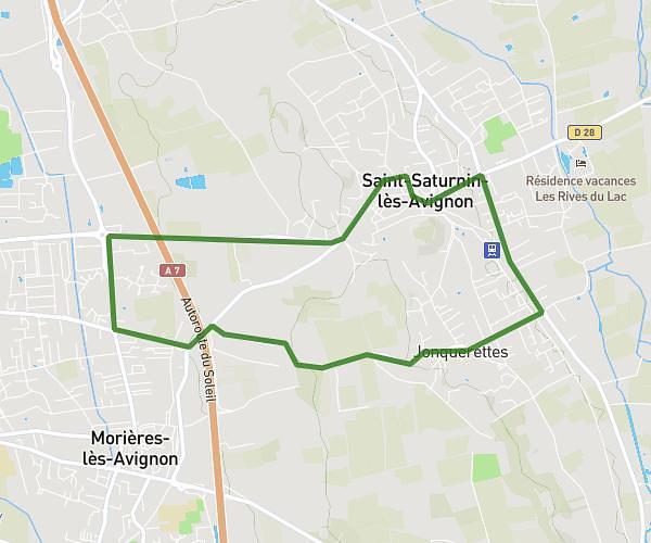
This running route covers 4.116mi starting from Tavel, Gard. The run does not return to the trailhead and ends near 38 Rue Des Chênes Verts, 30126 Tavel, France. This run is rated as easy, expect about 46m to complete it. The route has an elevation gain of 194ft and an elevation loss of 259ft.
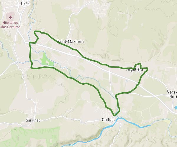
6,6 km par le plateau
Route details
5.37mph
Speed
526 kcal
Calories burned
Point to point
Route type
276ft
Min altitude
404ft
Max altitude
Route profile
194ft
Elevation gain
259ft
Elevation loss
276ft
Min altitude
404ft
Max altitude
How to get there
Trailhead: 9 Montée De Vallongue, 30126 Tavel, France
GPS coordinates of the trailhead: 44.01387, 4.71027 / 44°0'49'' N, 4°42'36'' E