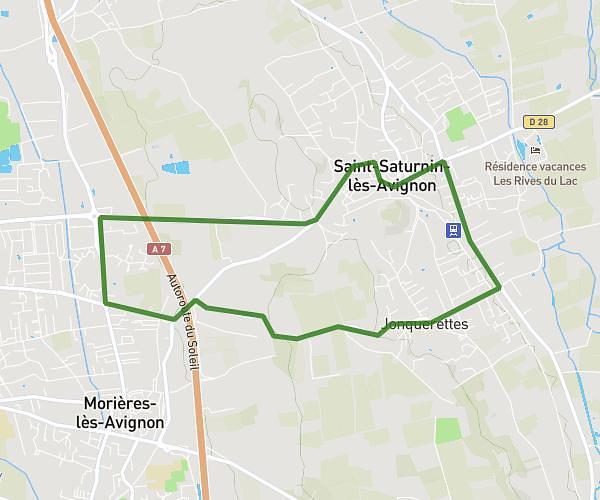
This running route covers 3.723mi starting from Gigondas, Vaucluse. The run is a loop trail and returns to the trailhead. This run is rated as easy, expect about 45m to complete it. The route has an elevation gain of 249ft and an elevation loss of 210ft.
D’gigondas
Route details
4.96mph
Speed
515 kcal
Calories burned
Loop trail
Route type
600ft
Min altitude
850ft
Max altitude
Route profile
249ft
Elevation gain
210ft
Elevation loss
600ft
Min altitude
850ft
Max altitude
How to get there
Trailhead: 421 Chemin Du Grame, 84190 Gigondas, France
GPS coordinates of the trailhead: 44.16979, 4.99972 / 44°10'11'' N, 4°59'58'' E