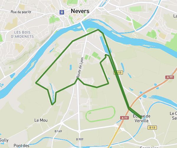
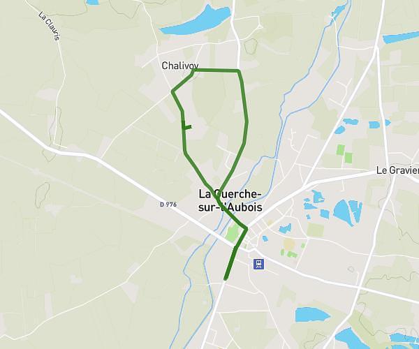
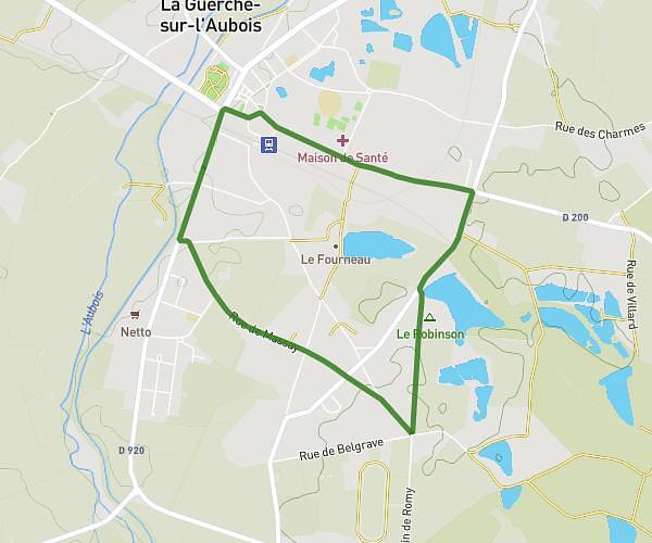
This walking route covers 8.604mi starting from Sermoise-sur-Loire, Nièvre. The walk is a loop trail and returns to the trailhead. This walk is rated as strenuous, plan for about 2h32m to complete it. The route has an elevation gain of 384ft and an elevation loss of 381ft.
Rando Sermoise 01/25
Route details
17:39/mi
Pace
621 kcal
Calories burned
Loop trail
Route type
574ft
Min altitude
758ft
Max altitude
Route profile
384ft
Elevation gain
381ft
Elevation loss
574ft
Min altitude
758ft
Max altitude
How to get there
Trailhead: 16 Rue Du Bourg, 58000 Sermoise-sur-Loire, France
GPS coordinates of the trailhead: 46.95177, 3.18568 / 46°57'6'' N, 3°11'8'' E