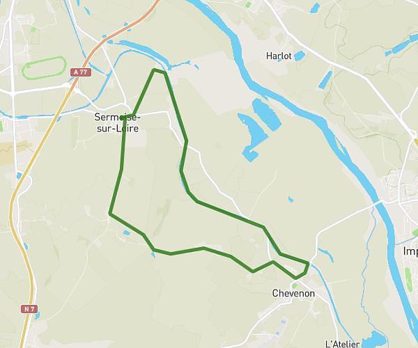
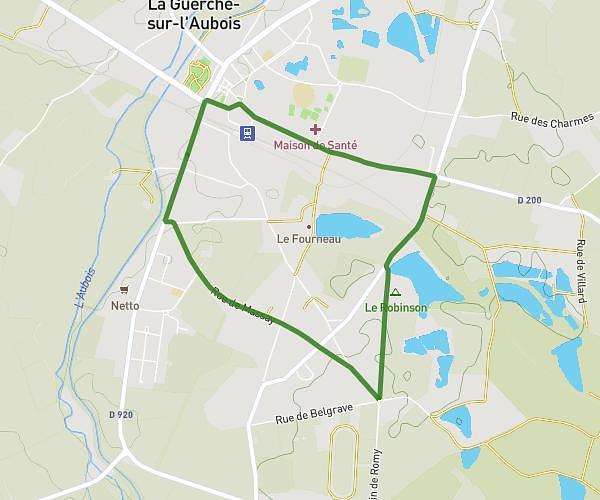
This walking route covers 3.941mi starting from La Guerche-sur-l'Aubois, Cher. The walk is a loop trail and returns to the trailhead. This walk is rated as moderate, plan for about 1h25m to complete it. The route has an elevation gain of 118ft and an elevation loss of 118ft.
Véro Chalivoy
Route details
21:33/mi
Pace
347 kcal
Calories burned
Loop trail
Route type
581ft
Min altitude
659ft
Max altitude
Route profile
118ft
Elevation gain
118ft
Elevation loss
581ft
Min altitude
659ft
Max altitude
How to get there
Trailhead: Rue Jean Jaurès, 18150 La Guerche-sur-l'Aubois
GPS coordinates of the trailhead: 46.94643, 2.944 / 46°56'47'' N, 2°56'38'' E