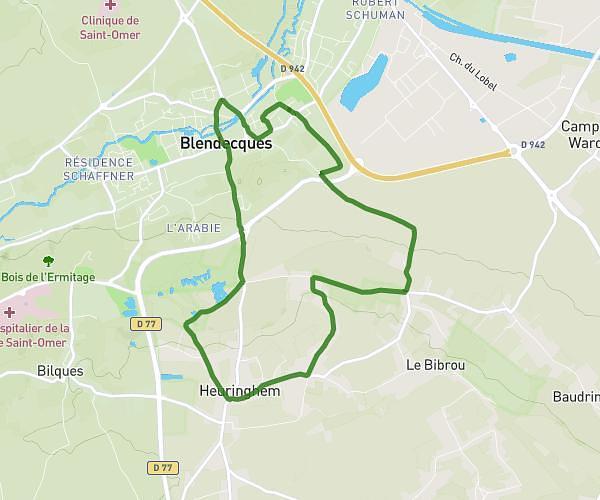
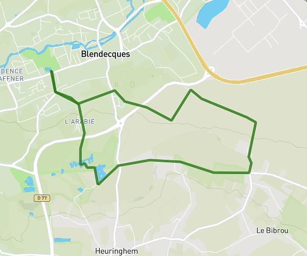
This hiking trail covers 8.067mi starting from Hardifort, Nord. The hike is a loop trail and returns to the trailhead. This hike is rated as easy, plan for about 2h39m to complete it. The route has an elevation gain of 184ft and an elevation loss of 184ft.
Boucle au départ d'Hardifort (Flandre intérieure)
Route details
3.04mph
Speed
1121 kcal
Calories burned
0.9%
Avg grade
Loop trail
Route type
39ft
Min altitude
121ft
Max altitude
Route profile
184ft
Elevation gain
184ft
Elevation loss
39ft
Min altitude
121ft
Max altitude
How to get there
Trailhead: 100 Bogaert Straete, 59670 Hardifort, France
GPS coordinates of the trailhead: 50.821106, 2.485963 / 50°49'15'' N, 2°29'9'' E