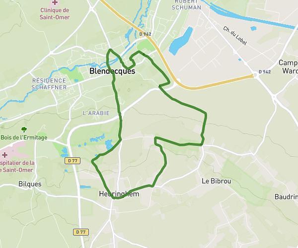
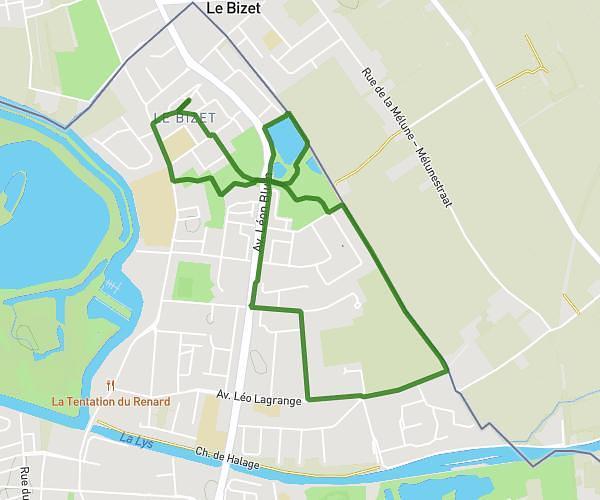
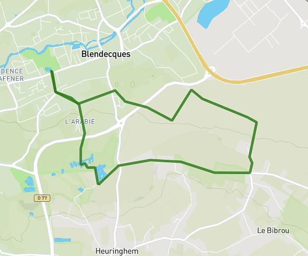
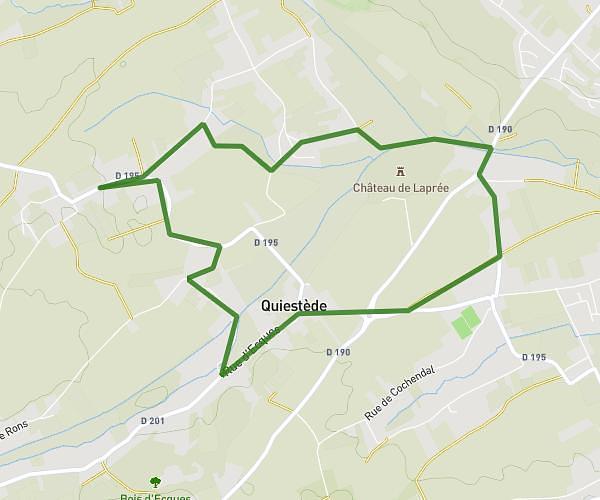
This hiking trail covers 8.518mi starting from Steenvoorde, Nord. The hike is a loop trail and returns to the trailhead. This hike is rated as easy, plan for about 2h52m to complete it. The route has an elevation gain of 299ft and an elevation loss of 299ft.
Description of the route by the creator
Loop around and starting from Steenvoorde (Rue Jacques Prévert). We explore the countryside around this town and, with a bit of luck (and provided you set off early) we may spot some wildlife (we crossed the path of a herd of 11 roe deer). The route is completely tarmac, but not very difficult. The gradients are gentle. After the hike, you can enjoy a drink in one of the many Steenvoord establishments.