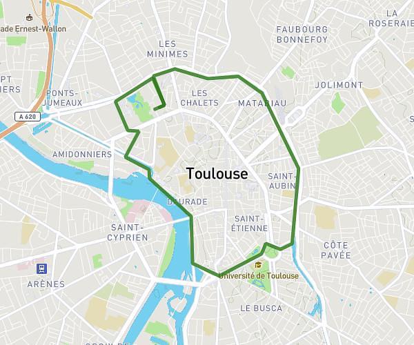
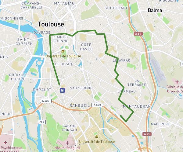
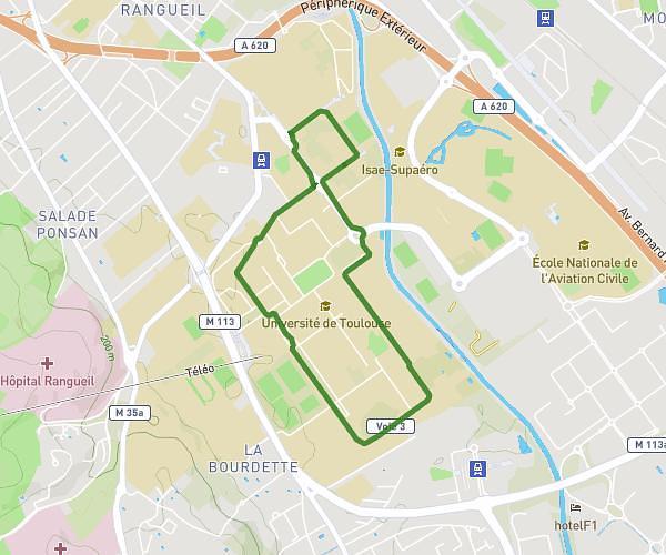
This running route covers 8.856mi starting from Quint-Fonsegrives, Haute-Garonne. The run is a loop trail and returns to the trailhead. This run is rated as hard, expect about 1h35m to complete it. The route has an elevation gain of 433ft and an elevation loss of 430ft.
weber marking
Route details
5.59mph
Speed
1086 kcal
Calories burned
Loop trail
Route type
446ft
Min altitude
486ft
Max altitude
Route profile
433ft
Elevation gain
430ft
Elevation loss
446ft
Min altitude
486ft
Max altitude
How to get there
Trailhead: 15 Avenue Mercure, 31130 Quint-Fonsegrives, France
GPS coordinates of the trailhead: 43.58025, 1.51751 / 43°34'48'' N, 1°31'3'' E