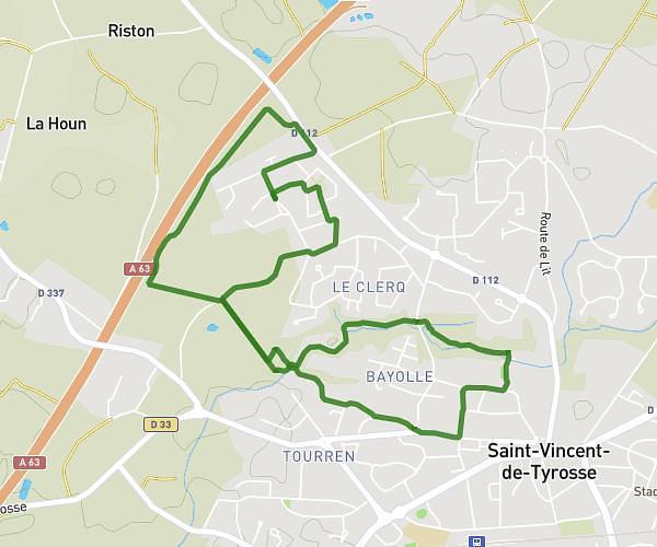
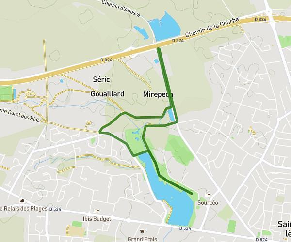
This walking route covers 18.448mi starting from Soorts-Hossegor, Landes. The walk does not return to the trailhead and ends near 66 Avenue De La Côte D'argent, 40230 Saint-Vincent-de-Tyrosse, France. This walk is rated as moderate, plan for about 5h to complete it. The route has an elevation gain of 98ft and an elevation loss of 20ft.
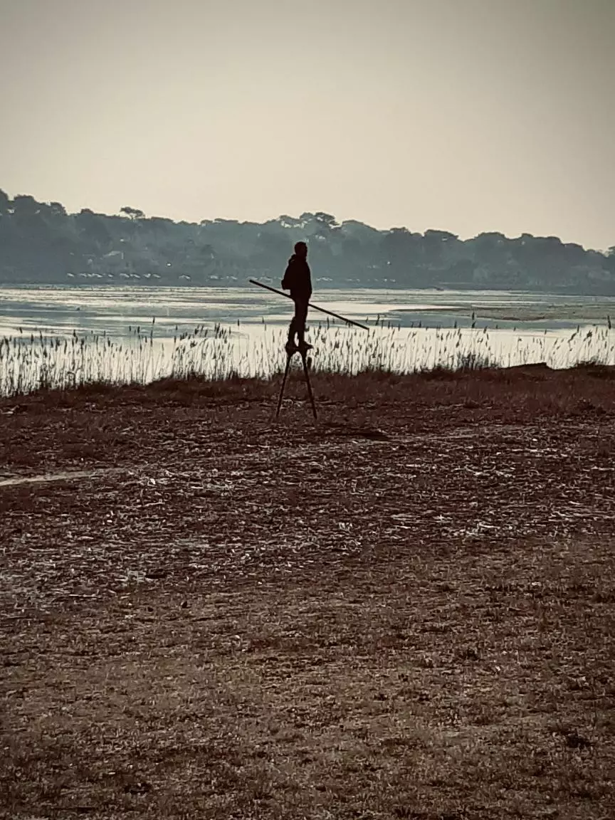
Parcours sur échasses
Route details
16:15/mi
Pace
1225 kcal
Calories burned
Point to point
Route type
7ft
Min altitude
98ft
Max altitude
Route profile
98ft
Elevation gain
20ft
Elevation loss
7ft
Min altitude
98ft
Max altitude
How to get there
Trailhead: 2436 Avenue Du Touring Club De France, 40150 Soorts-Hossegor, France
GPS coordinates of the trailhead: 43.67565, -1.42675 / 43°40'32'' N, 1°25'36'' W