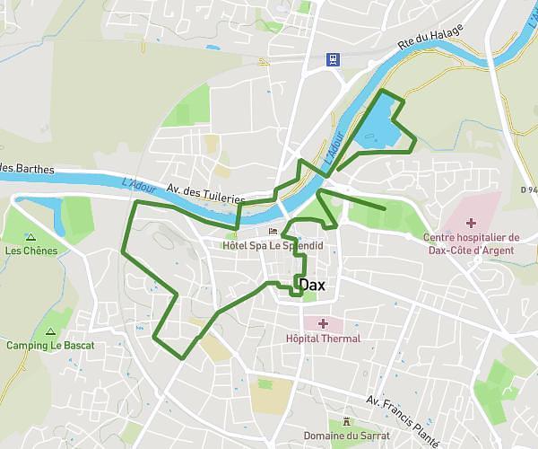
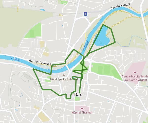
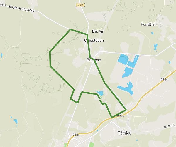
This walking route covers 3.723mi starting from Saint-Vincent-de-Tyrosse, Landes. The walk is a loop trail and returns to the trailhead. This walk is rated as moderate, plan for about 1h20m to complete it. The route has an elevation gain of 141ft and an elevation loss of 141ft.
promenade tamao
Route details
21:30/mi
Pace
327 kcal
Calories burned
Loop trail
Route type
72ft
Min altitude
112ft
Max altitude
Route profile
141ft
Elevation gain
141ft
Elevation loss
72ft
Min altitude
112ft
Max altitude
How to get there
Trailhead: Rue De La Diligence, 40230 Saint-Vincent-de-Tyrosse
GPS coordinates of the trailhead: 43.66957, -1.31604 / 43°40'10'' N, 1°18'57'' W