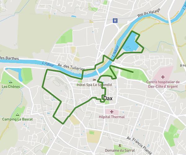
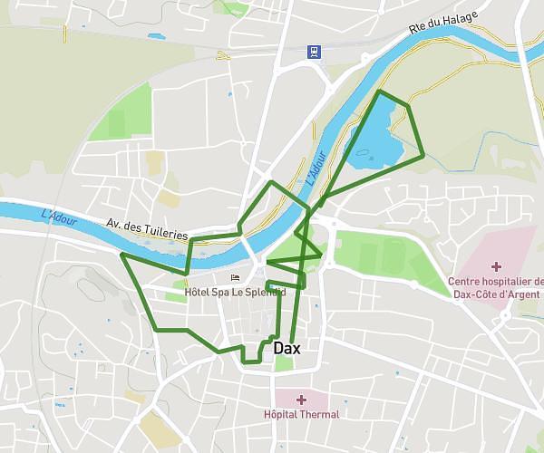
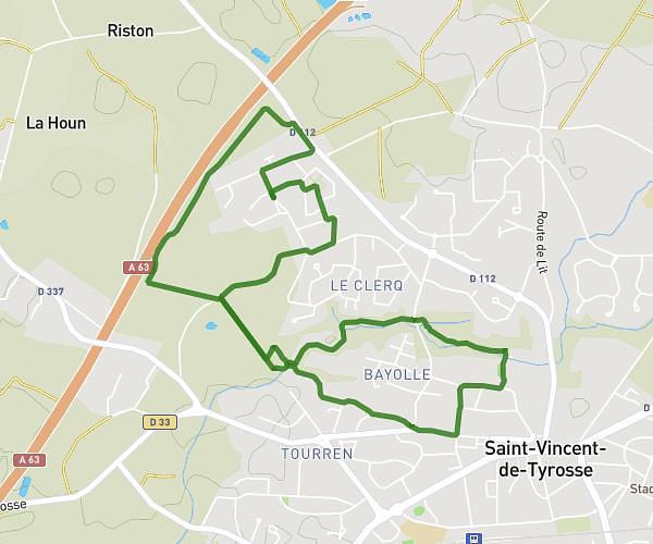
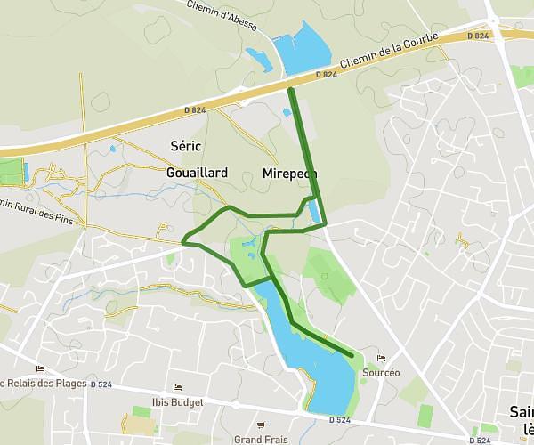
This walking route covers 7.988mi starting from Saint-Vincent-de-Paul, Landes. The walk is a loop trail and returns to the trailhead. This walk is rated as strenuous, plan for about 2h to complete it. The route has an elevation gain of 269ft and an elevation loss of 276ft.
Marche
Route details
15:01/mi
Pace
490 kcal
Calories burned
Loop trail
Route type
66ft
Min altitude
200ft
Max altitude
Route profile
269ft
Elevation gain
276ft
Elevation loss
66ft
Min altitude
200ft
Max altitude
How to get there
Trailhead: 1923 Route De La Glacière, 40990 Saint-Vincent-de-Paul, France
GPS coordinates of the trailhead: 43.76432, -0.98945 / 43°45'51'' N, 0°59'22'' W