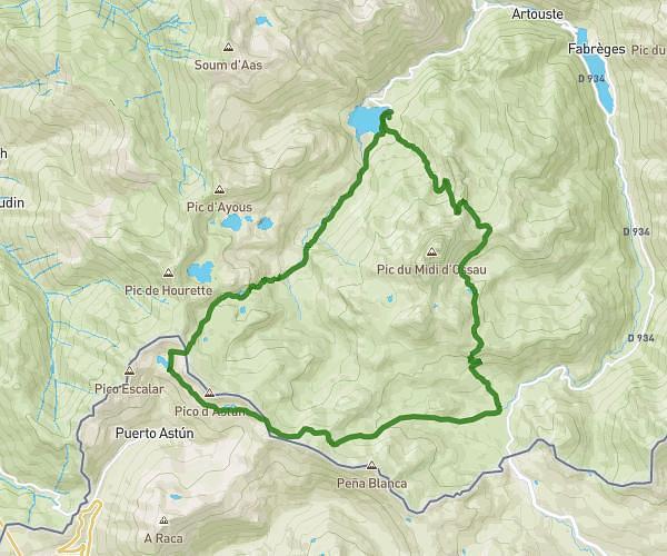
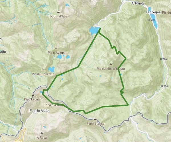
This hiking trail covers 4.032mi starting from Béost, Pyrénées-Atlantiques. The hike is a loop trail and returns to the trailhead. This hike is rated as hard, plan for about 3h49m to complete it. The route has an elevation gain of 1572ft and an elevation loss of 1568ft.
Andreyt
Route details
1.06mph
Speed
1800 kcal
Calories burned
14.7%
Avg grade
Loop trail
Route type
4898ft
Min altitude
6070ft
Max altitude
Steep climb
Route profile
1572ft
Elevation gain
1568ft
Elevation loss
4898ft
Min altitude
6070ft
Max altitude
How to get there
Trailhead: Route Du Col D’Aubisque, 64440 Béost, France
GPS coordinates of the trailhead: 42.97652, -0.34071 / 42°58'35'' N, 0°20'26'' W