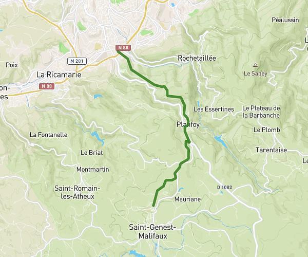
This running route covers 8.172mi starting from Saint-Thomas-la-Garde, Loire. The run does not return to the trailhead and ends near Chemin Des Goutasses, 42600 Lézigneux. This run is rated as hard, expect about 5m to complete it. The route has an elevation gain of 1260ft and an elevation loss of 1086ft.
test
Route details
98.06mph
Speed
57 kcal
Calories burned
Point to point
Route type
1526ft
Min altitude
2165ft
Max altitude
Route profile
1260ft
Elevation gain
1086ft
Elevation loss
1526ft
Min altitude
2165ft
Max altitude
How to get there
Trailhead: Rue Du Lac, 42600 Saint-Thomas-la-Garde
GPS coordinates of the trailhead: 45.56186, 4.07966 / 45°33'42'' N, 4°4'46'' E