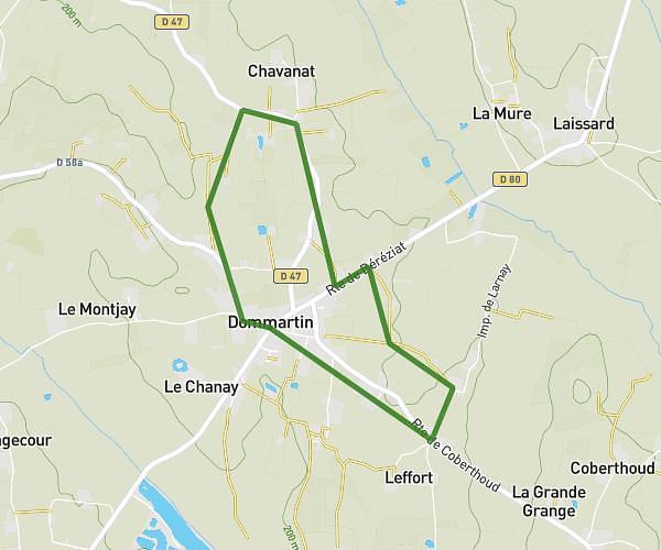
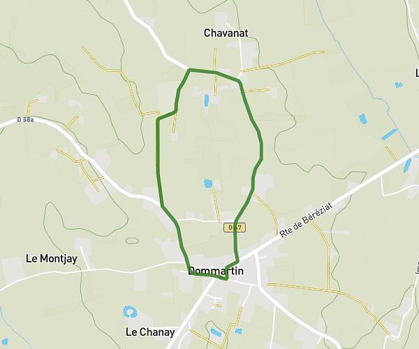
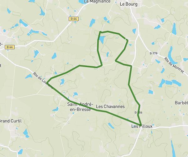
This running route covers 8.815mi starting from Rancy, Saône-et-Loire. The run is a loop trail and returns to the trailhead. This run is rated as hard, expect about 1h15m to complete it. The route has an elevation gain of 446ft and an elevation loss of 440ft.
14km
Route details
7.05mph
Speed
858 kcal
Calories burned
Loop trail
Route type
584ft
Min altitude
663ft
Max altitude
Route profile
446ft
Elevation gain
440ft
Elevation loss
584ft
Min altitude
663ft
Max altitude
How to get there
Trailhead: Route De Ménétreuil, 71290 Rancy
GPS coordinates of the trailhead: 46.59605, 5.09163 / 46°35'45'' N, 5°5'29'' E