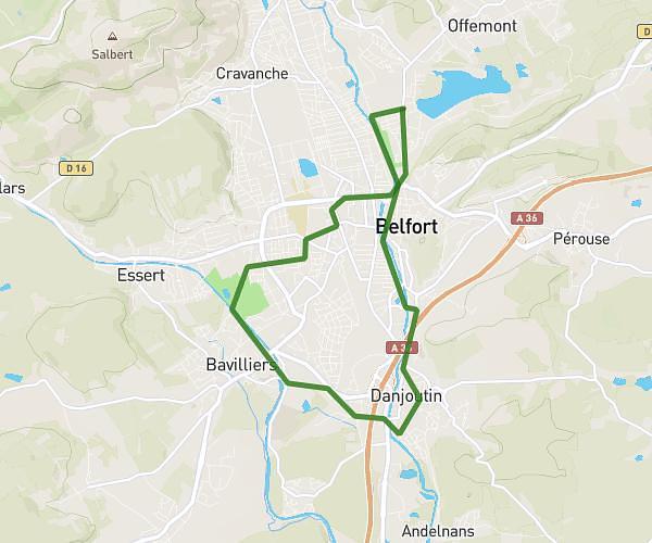
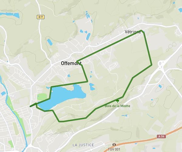
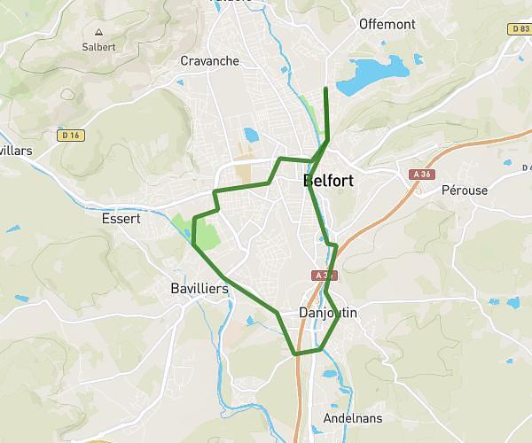
This running route covers 3.464mi starting from Le Thillot, Vosges. The run is a loop trail and returns to the trailhead. This run is rated as easy, expect about 36m59s to complete it. The route has an elevation gain of 413ft and an elevation loss of 410ft.
Test
Route details
5.62mph
Speed
423 kcal
Calories burned
Loop trail
Route type
1581ft
Min altitude
1923ft
Max altitude
Route profile
413ft
Elevation gain
410ft
Elevation loss
1581ft
Min altitude
1923ft
Max altitude
How to get there
Trailhead: 1 Chemin Du Vacceux, 88160 Le Thillot, France
GPS coordinates of the trailhead: 47.87545, 6.76079 / 47°52'31'' N, 6°45'38'' E