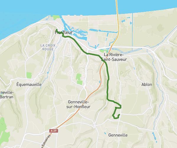
This walking route covers 2.019mi starting from Le Havre, Seine-Maritime. The walk is a loop trail and returns to the trailhead. This walk is rated as easy, plan for about 43m to complete it. The route has an elevation gain of 59ft and an elevation loss of 62ft.
la catene le havre
Route details
21:19/mi
Pace
176 kcal
Calories burned
Loop trail
Route type
10ft
Min altitude
33ft
Max altitude
Route profile
59ft
Elevation gain
62ft
Elevation loss
10ft
Min altitude
33ft
Max altitude
How to get there
Trailhead: Quai De Southampton, 76600 Le Havre
GPS coordinates of the trailhead: 49.4859, 0.10964 / 49°29'9'' N, 0°6'34'' E