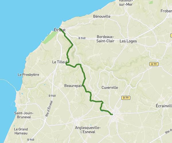
This hiking trail covers 1.957mi starting from Saint-Vincent-Cramesnil, Seine-Maritime. The hike does not return to the trailhead and ends near 126 Allée Du Presbytère, 76430 Saint-Vincent-Cramesnil, France. This hike is rated as easy, plan for about 42m to complete it. The route has an elevation gain of 49ft and an elevation loss of 62ft.
village parcours perso
Route details
2.8mph
Speed
296 kcal
Calories burned
1.1%
Avg grade
Point to point
Route type
367ft
Min altitude
400ft
Max altitude
Route profile
49ft
Elevation gain
62ft
Elevation loss
367ft
Min altitude
400ft
Max altitude
How to get there
Trailhead: 420 Rue De La Cure, 76430 Saint-Vincent-Cramesnil, France
GPS coordinates of the trailhead: 49.5064, 0.35445 / 49°30'23'' N, 0°21'16'' E