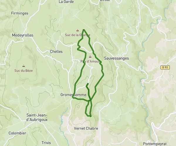
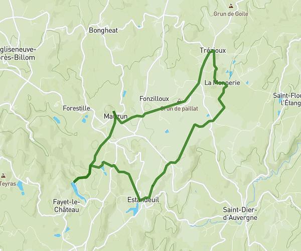
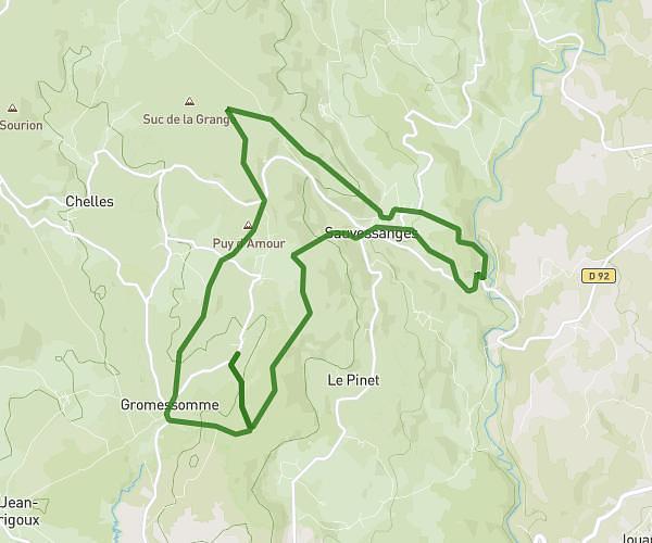
This running route covers 83.404mi starting from La Forie, Puy-de-Dôme. The run is a loop trail and returns to the trailhead. This run is rated as strenuous, expect about 4h28m to complete it. The route has an elevation gain of 1345ft and an elevation loss of 1145ft.
ladejsam
Route details
18.64mph
Speed
3069 kcal
Calories burned
Loop trail
Route type
1844ft
Min altitude
2766ft
Max altitude
Route profile
1345ft
Elevation gain
1145ft
Elevation loss
1844ft
Min altitude
2766ft
Max altitude
How to get there
Trailhead: Route D’Ambert, 63600 La Forie
GPS coordinates of the trailhead: 45.59033, 3.76199 / 45°35'25'' N, 3°45'43'' E